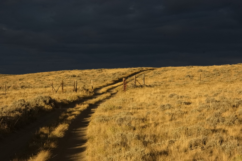
Trying to travel along the Overland Road – such as it is – from the Pass Creek crossing of Rattlesnake Rd was not was not worth the risk given conditions of many things – mostly due to being by myself late in the day considering the season with weather coming in. The time of year I was there, the weather could run from sunny and warm to cold and snowy – within a single day. It’s a long way from even the boonies at some of these places. Cheaper to abandon the vehicle than tow it out if I got stuck – and I’ve been there, done that, and there’re no T-shirts out there.
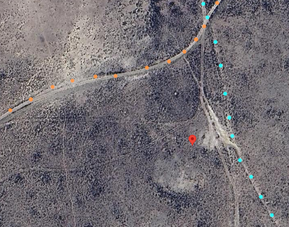
Detailed Map: Pass Creek to Bridger Station
Note: These are large files and may take time to load; they load in a new window
ORG dots are traces from 1870s survey maps; PUR dots are traces from 1970s maps
PUR dots dominate where the two overlap
I would have attempted it – but look at those clouds building up
I’m too “experienced” for that type of adventure anymore.
So sticking to what out there are main roads, I eventually crossed an actual paved highway. The trail crossing is marked by this stone:
Midway Station
19N84WS22NESE
41.60845033733971, -106.82664512336378
I mention this site because it appears on some maps … but it wasn’t an Overland Stage station.
The site of Midway Station is located less than a mile west of modern WY130 along the Overland Route. There are no remains other than a couple of slight cellar depressions in the earth. The Overland road passes within yards of the site but evidence suggests this station was constructed perhaps in the late 1800s – well after the time of the Overland/Wells-Fargo stage lines – along an intersecting freight road running N-S between Saratoga and the UPRR at Walcott 10 miles north. Think of it as an 1890s truck stop.
ORG: Overland Road
CYN: Saratoga-Walcott Freight Road
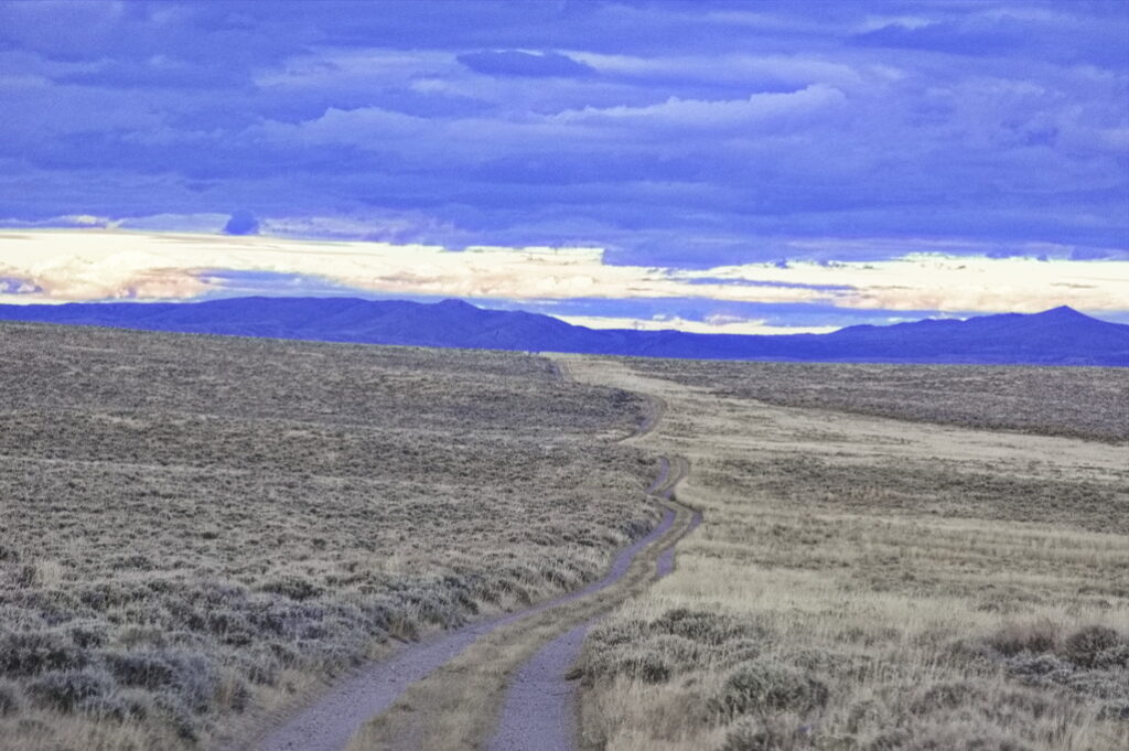
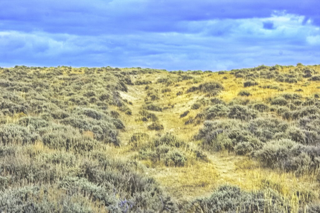
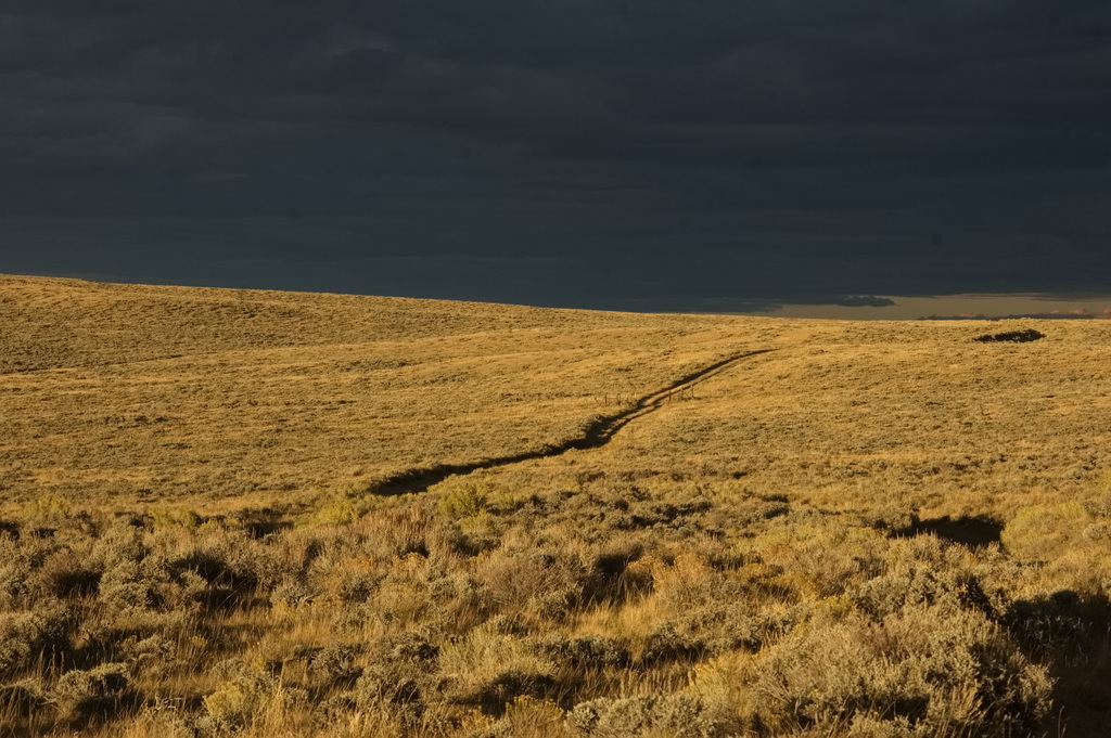
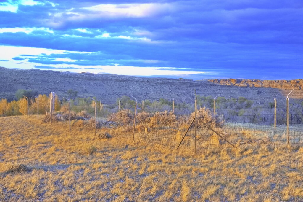
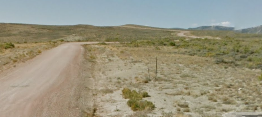
The road more travelled. This section didn’t look as iffy but still a long, lonely walk out if need be … and “need be” meant rain or snow.
The clay in that soil turns into gumbo mud when wet.
I took it anyway
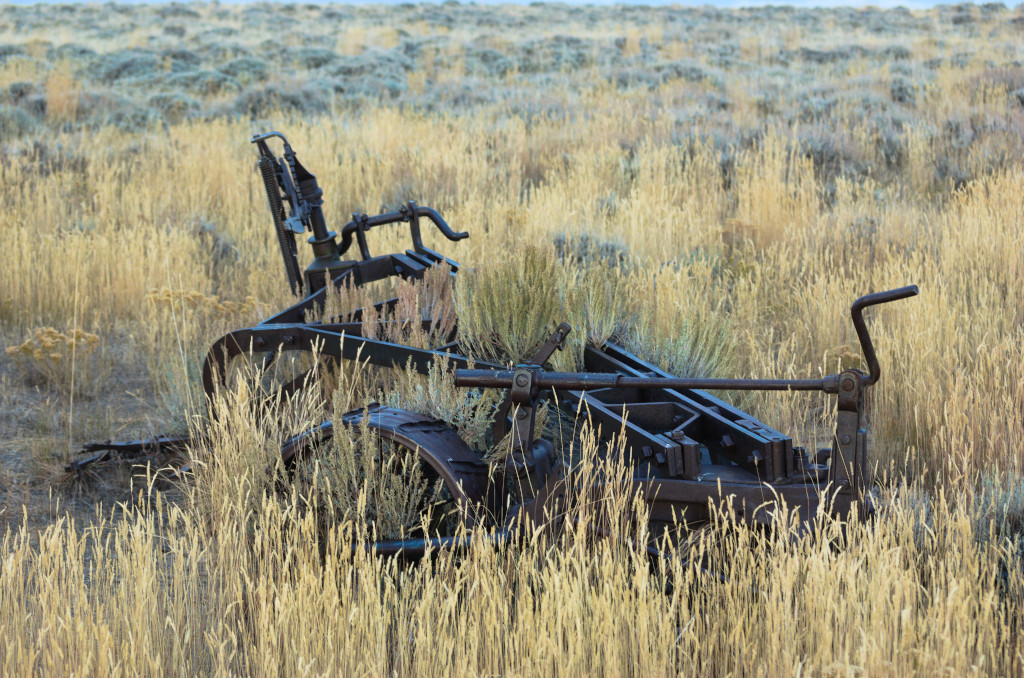
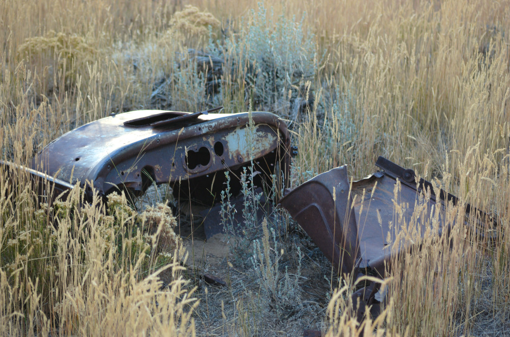
Occasional signs of attempted homesteading appear every once in a while. Obviously 20th century, makes one wonder what tales of lost hopes and dreams … and hardship come from this land.
I travel on. Even in a 4×4 pickup, travel wasn’t much faster than riding the stagecoach would have been – in places, the stage might have been faster.
Later, getting near sunset, the sun poked out for a while …
Getting near sunset and … “miles to go before I sleep“
The trail is this area is still in use: ranchers & hunters mostly
… and a few crazy folk wandering around
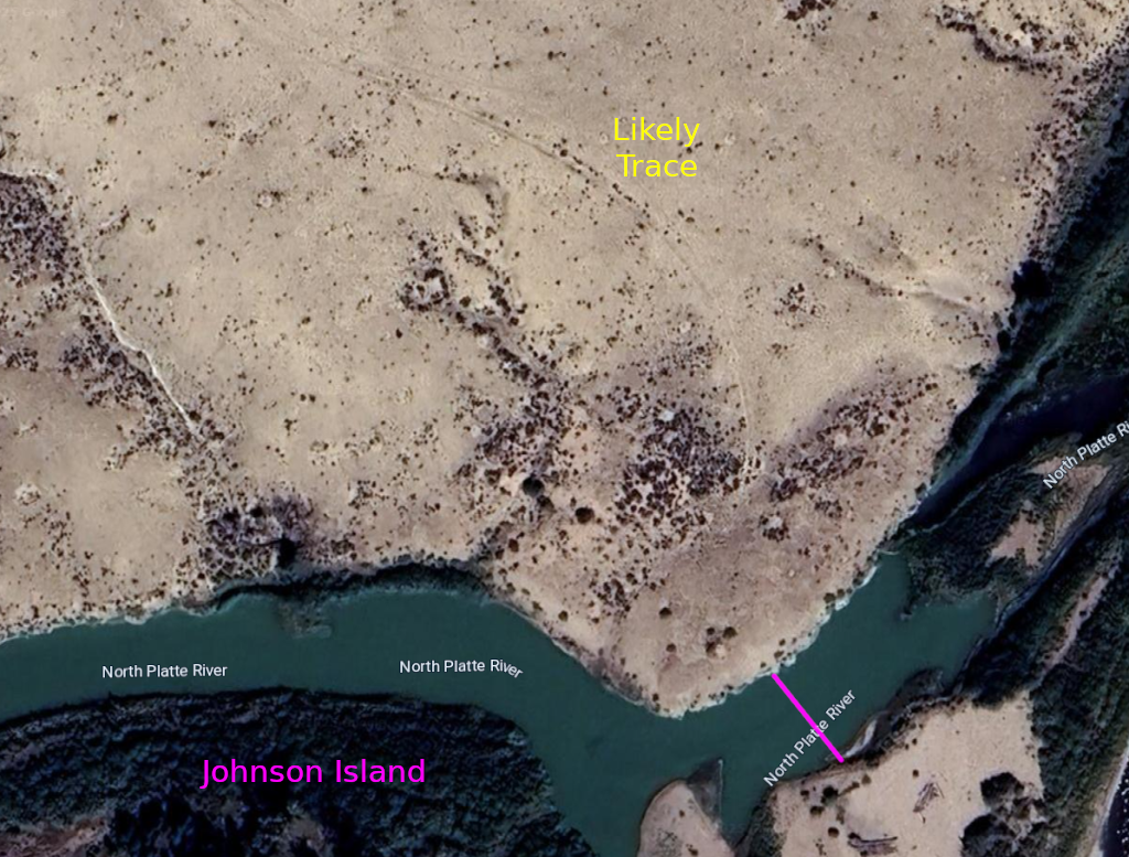
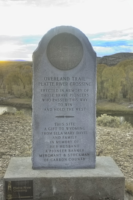
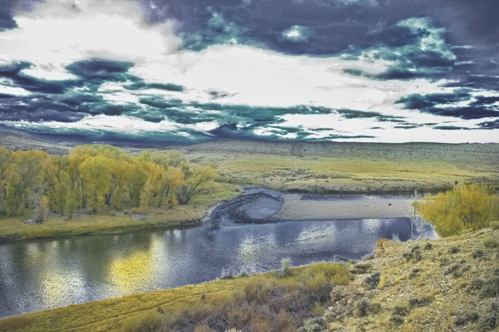
North Platte Crossing
19N85WS32SE
41.5734564696798, -106.96628173385372
Not a station per se, but civilization of sorts. A ferry did operate here during portions of the stage days. The North Platte crossing was looked upon as an oasis in the dry, sandy sagebrush country at the same time it was viewed as a crossing to be looked upon with fear. It was not easy to ford and the ferry was not an assurance of safety. This gap in the high bluffs surrounding the area made this the only feasible crossing point.
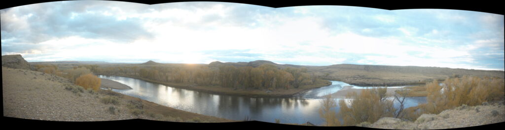
Johnson Island dead center; the crossing was to the right.
The crossing of the North Platte River (just downstream [north] from Johnson’s Island) was such an anticipated event that many travellers mentioned it in their diaries. Unfortunately, while the crossing itself was mentioned, little was said about the facilities which were on the east side. The North Platte was a welcome sight: large cottonwoods offering shade amongst the hot and dry sage county with cold clean water to drink.
It also caused an epic traffic jam as traffic – freight wagons, travellers, stagecoaches – all waited their turn to cross. Seems a good place for the set-up of traveller traps places for goods and services … but no mention of anything more than a ferry.
The ferry was described by a traveller in summer 1863. It was attached with ropes and pulleys to a cable strung across the river. The current of the river carried it across. By changing the ropes, the angle of the ferry to the river was shifted, allowing the current to pull the ferry back. The ferry was small, having room for only one wagon at a time; passengers and baggage needed to fit between the horses. Toll was high; $5.00 per wagon. Travellers searched for a place to ford the river to avoid the toll but the 200 ft cliffs elsewhere along the banks of the river prevented it. Time being of the essence and distances long and hard – it was better to wait one’s turn and pay the ferryman.
The ferry wasn’t a guarantee of safe crossing; on at least one occasion the ferry broke loose and capsized; several passengers drowned. The small size of the ferry created a traffic jam; traffic needed to line up while waiting for wagon trains ahead to complete the crossing. The ferry did not operate at night – one person tells of waiting all night, being up at dawn in order to be first in line at the ferry despite the fact that the day was Sunday – a “day of rest the world over“.

The dangers and fear of the crossing were justified; not everyone made it.
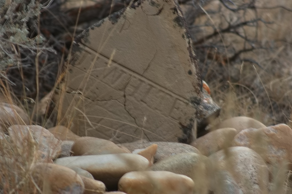
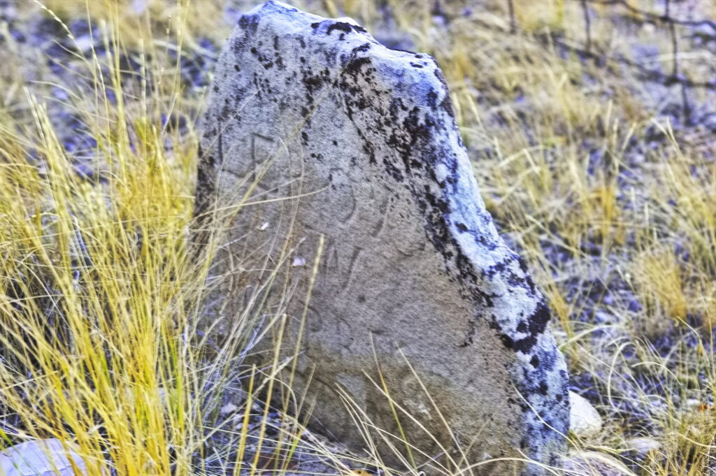
This cemetery is on a bluff over-looking the crossing; there are a handful of identifiable graves – an unknown number unidentifiable. The cemetery itself is a preserved historical site although the banks of the river at the crossing point itself is on … what else? private land and inaccessible.
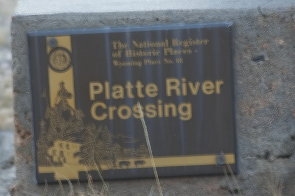
The North Platte Crossing is listed on the National Register of Historic Places; there are eight acres surrounding the site which are designated a State Historical Park and is owned by the state of Wyoming. Even so, it appears the 8 acres is surrounded by private property.
Or so I was told by the two gentlemen that drove up to me (as I was getting ready to leave anyway), told me I was trespassing, and to get the hell out. Politely of course, but … meaningfully.
So I up and got …

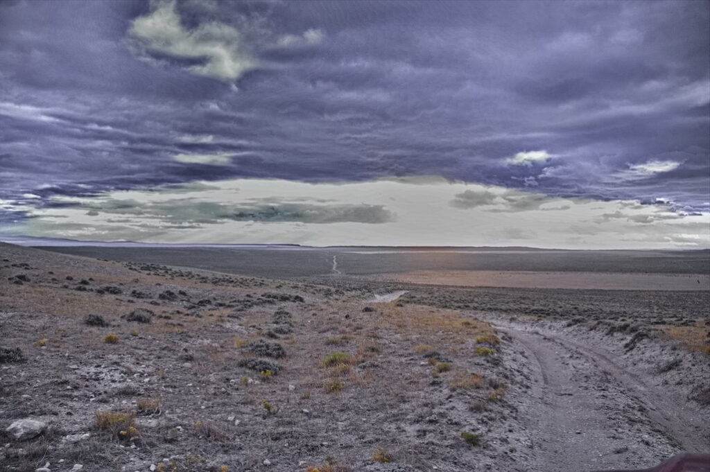
Now I had to find a way across the river myself. It was much darker out than this picture suggests; this was the next crossing south.
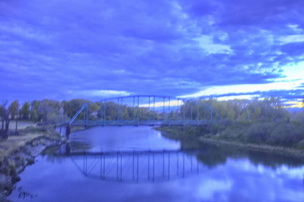
Dark and handheld photo with high ISO
I had planned on camping at the Sand Creek station site ….
And found access is blocked from that side as well.
Once again proving to myself the folly of making plans. Or at least committing to them.
Driving down a very nicely maintained road at about 50mph in the middle of the night was not a clue.
Who the hell paints a gate a dark color? A single tube of steel across the road.
The braking coefficient of a gravel road is not high.
Got the gate open though …
but thought it best to leave the few truck pieces behind and turn around; try a different approach.
Getting late – not too many options.
Access is blocked from the N Platte River west to Sage Creek Rd; aka WY72/401.
The road that would allow access is Bolton Rd – closed to public access.
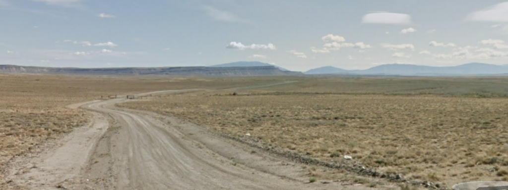
Sage Creek Station
19N87WS28SENE
41.59158573143928, -107.19476719413666
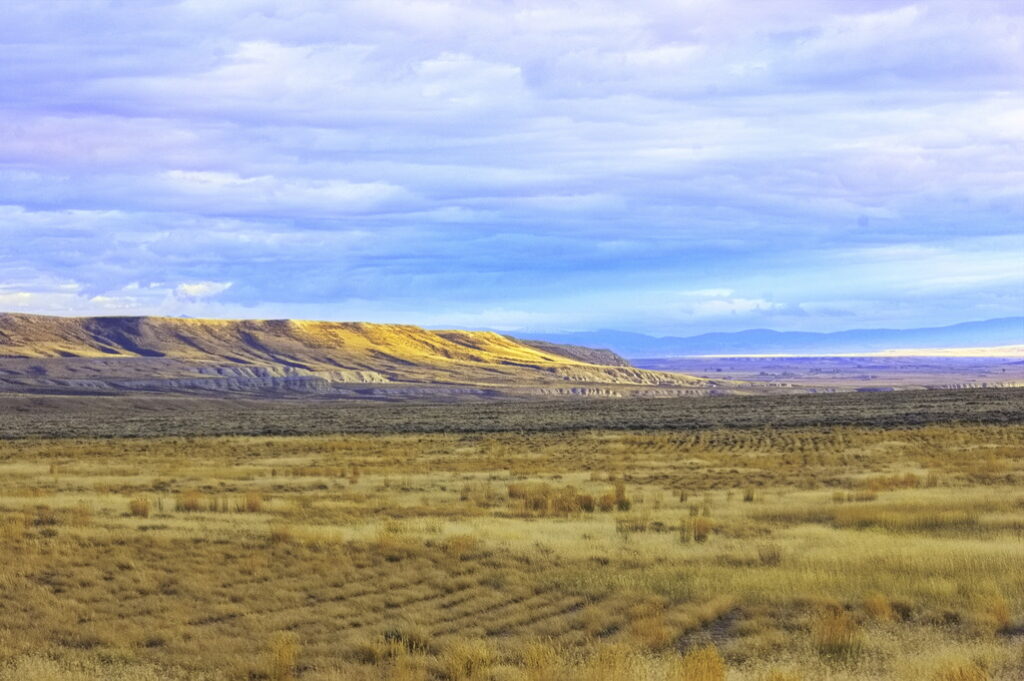
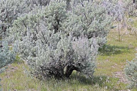
After leaving the brief respite of trees and good water at the North Platte crossing, the stages encountered the greasewood, sage, and rabbitbush country along with the pervasive alkali dust – or mud – once again.
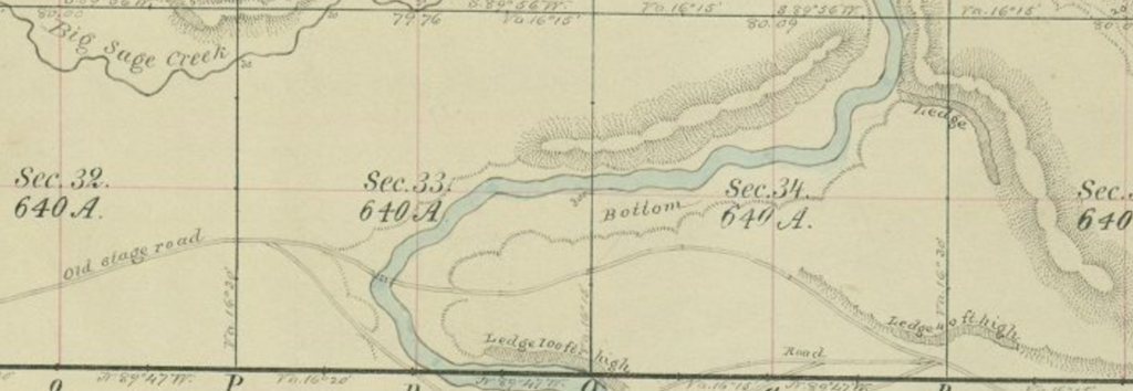
It was about 15 miles to the Sage Creek Station from the North Platte. Actually located on Miller Creek, the station was built of pine and aspen logs. It was a large station of 25 by 60 ft. The fireplace was adobe and the roof was sod. Although the station had good views all around, it also meant that it was easily visible to Indians as were the stages and wagons nearby. Later examination show the station was probably burned and rebuilt several times. Nothing remains except still-visible ruts … not that they may be observed by the general public; the station site is located well into private land.

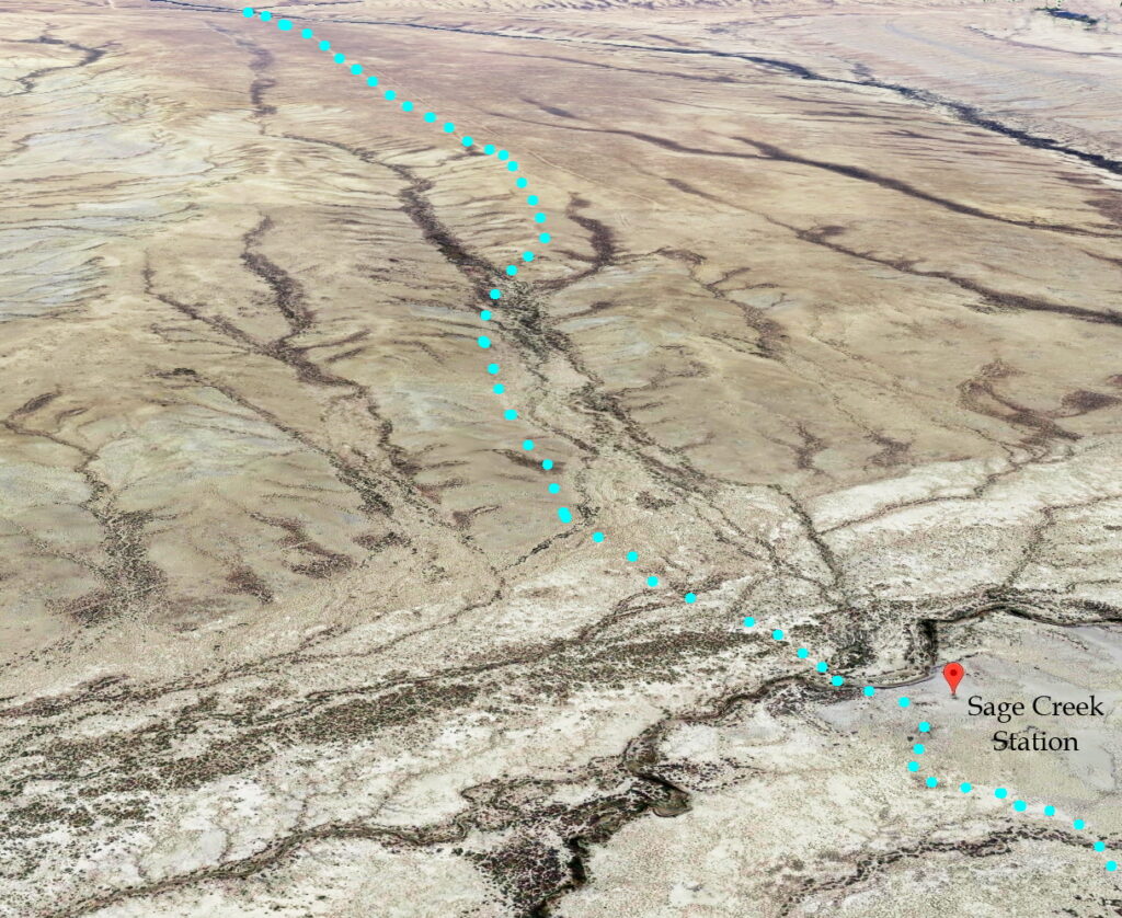
RED indicates the Overland Road
BLU dots to left are on a public highway
This entire section blocked to public access

Trail agrees with 1876 map
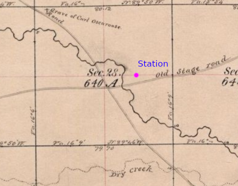
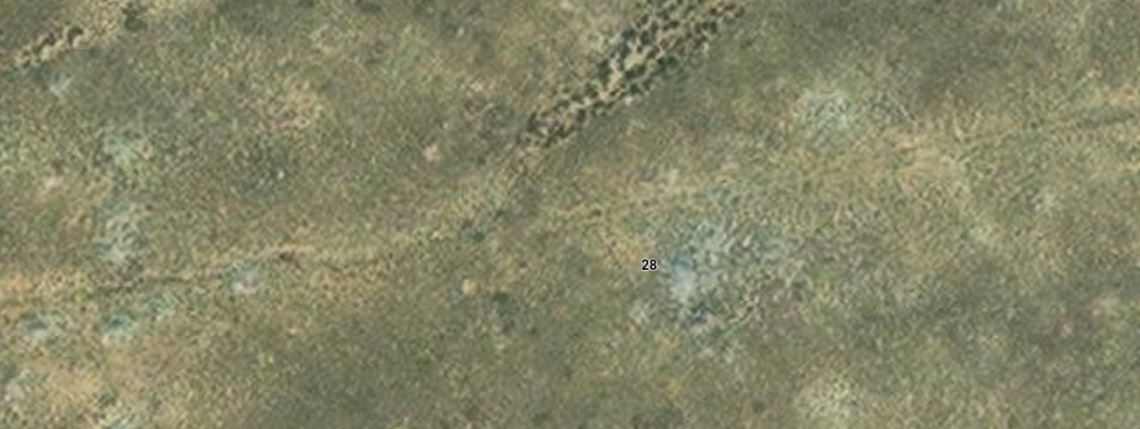
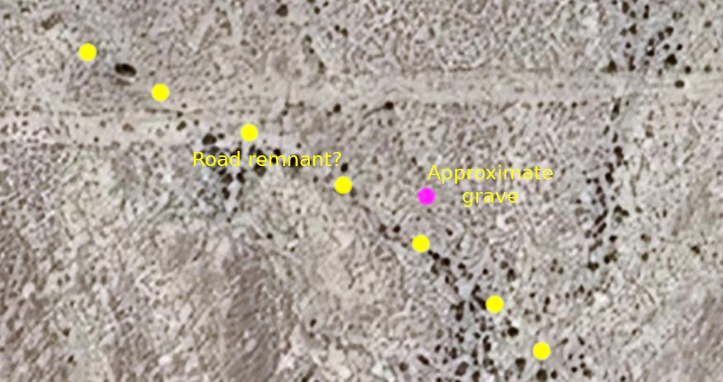
I found the presence of a grave on the 1876 map interesting. Based on this map, it appears to be about ½ mile from the creek crossing tucked in near the NW corner of Section 28. I can find no information about “Carl Oscaroose” and resolution of the aerial maps is not good enough to detect any sign of a grave on today’s maps – nor is the road passing by the grave easily – if at all – detectable. RIP Carl.
The 1876 road next to the grave site marked on the map now has the appearance of being a wash. Dry country but when it rains, it floods and roads dig channels for water to flow through. These artifacts are probably less visible on the ground.
The database suggest it was last checked in 1972
The discontinuity appears to be within the latitude boundary between sections
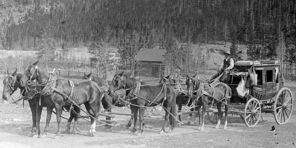
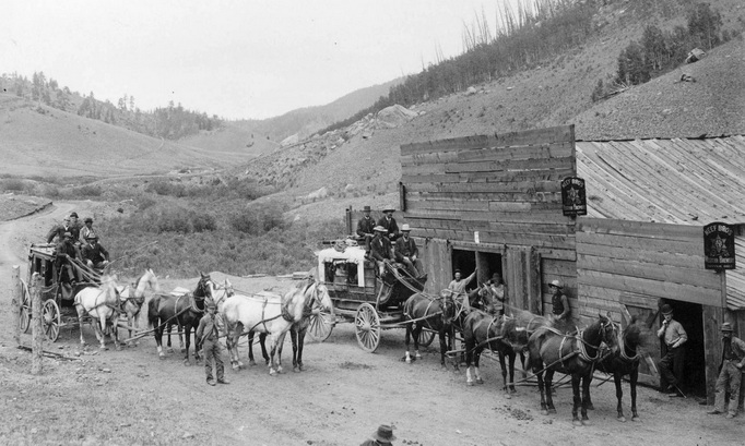
Nearly every driver I knew seemed more or less fascinated with his chosen occupation, sitting on a stage box, and when once in the business it appeared as if they never could retire from it. There evidently was some sort of a charm about stage-driving that they never could resist. Old drivers frequently told me that. Some were good for nothing else. Once in it, they appeared to be there for the better part of their lives. A driver would cover from two to three “stages” (25 to 35 miles), but occasionally one would go four of five “stages” (from 50 to 60 miles).
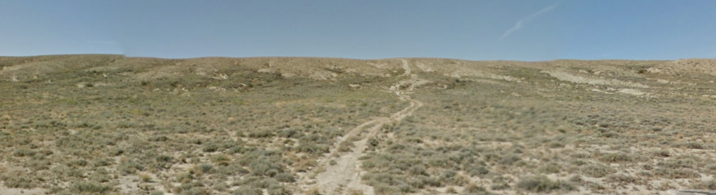
The road is blocked at the fence left of center; Sage Creek Station is about 3.5 miles away
just to the right of the low dark bluff on the horizon
This is not the stage road
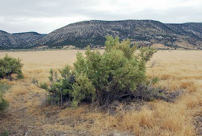
The next station west is Pine Grove; but first, after leaving the Sage Creek Station, lies another 2 or 3 hours of dry dusty alkali land where even the sage is hesitant to grow.
About 1.5 miles north of Bolton Road on WY71 is Bridger Pass Road
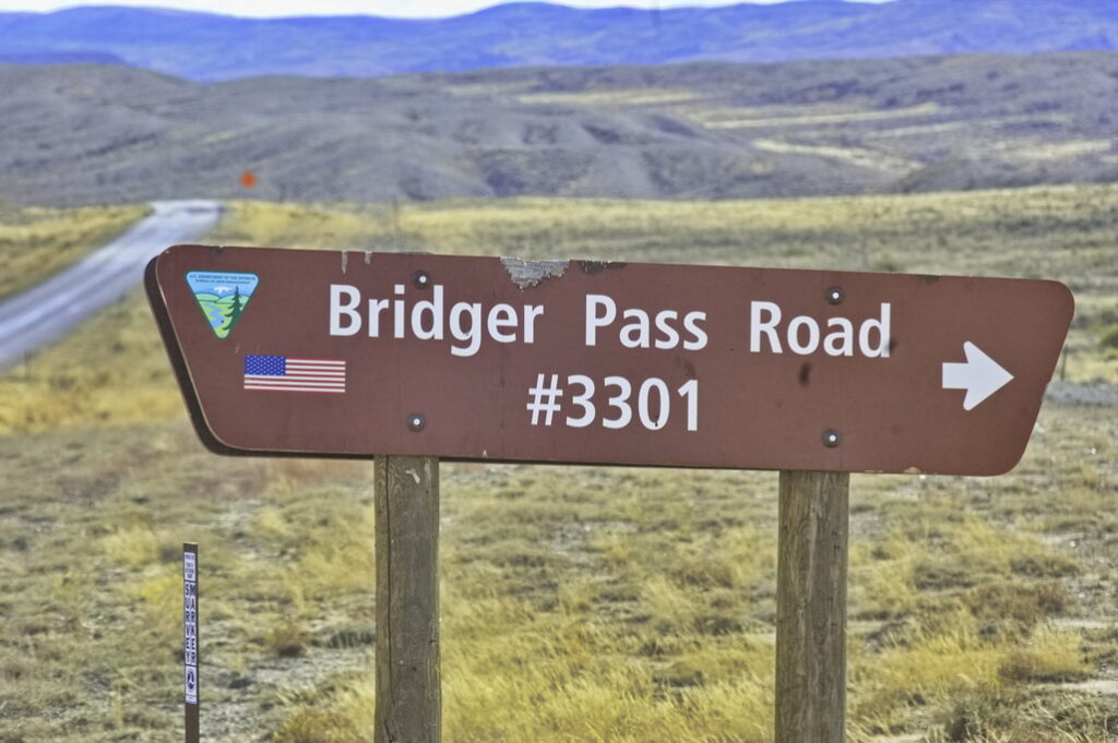
not the stage road
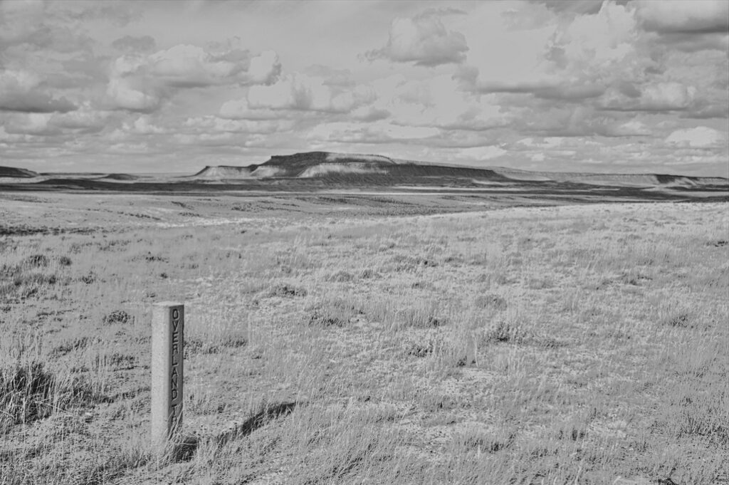
Pine Grove Station
18N88WS6NENE
41.56744747848063, -107.34447902278578 site
41.568603547517434, -107.34593799768953 cemetery
The Pine Grove Station wasn’t misnamed; it actually was located in a grove of pine and aspen trees at the base of Miller Hill near the Continental Divide. After traveling a few hours from the Sage Creek station – and the same getting to Sage Creek from the North Platte, the shade and coolness of the trees was a welcome change. So was the fresh water.
Pine Grove was a home station consisting of a large building with a kitchen, dining room and sleeping quarters for women and separate bunkhouse for the men. The station also had stables and a blacksmith shop. Indians destroyed the station in the summer of 1865 and although it was rebuilt, there are no remains.
The site would be a hefty 2.5 mile hike from Bridger Pass Road though it appears there may be a back road into close vicinity of the site. Should I ever get back, time will be allocated to exploring this area. Small dirt bikes would be recommended over 4x4s. Passenger cars would be overly risky and likely more expensive than the vehicle’s worth to extricate if troubles came up … and I’m a firm believer in Murphy.
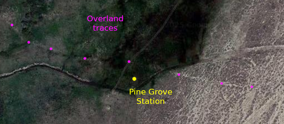
the aerial view shows tracks of what is likely the Overland Road
There were soldiers posted here; they built an underground bunker with rifle ports. During the 1865 attack, some of the Overland employees were able to fight their way through a Sioux war party and get to Sulphur Springs 20 miles away to the west. A dog at the station had warned the station master to the trouble. The Indians killed the dog with arrows and stuck the carcass onto the station walls with a pitchfork. The station site is on the National Register of Historic Places but the location is (now) redacted.
There’s an interesting remnant at 41.561875310761465, -107.35051571820281 about ½ mile SW of the supposed site. New? Old? Worth checking out if in the area – it seems to be one of those places worth trying to get to once … and never again.
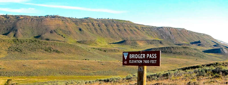
Bridger Pass
18N89WS09NWSW
41.55094831790147, -107.43123961978117
Bridger Pass is the Continental Divide; on the southern side of the Continental Divide Basin. This site is directly on an accessible road. There was no stage station here; the station was located a few miles west.
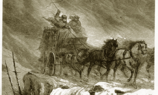
“… a crossing of the continent on the Overland in mid-winter was an experience not to be savored. In some instances, passengers would wear buffalo overcoats, on top of which would be buffalo robes. About their legs they would wear goat skin leggings.“
In its time, the route over Bridger Pass was the second of two major highways crossing the country – the other being over South Pass about 100 miles north. The section of the Overland Road between Pine Grove and Sulphur Springs stations was considered one of the most dangerous due to on-going Indian attacks. The summer of 1865 was particularly bad; all stations between Sage Creek and Sulpher Springs were raided. Pine Grove and Bridger Pass stations were abandoned – the employees gathered at Sulphur Springs, that being a more easily defended station. Troops from the 11th Ohio Cavalry at Ft Halleck to the east were posted at stations along the line and provided escorts to the mail service. Troops of Nevada cavalry were dispatched from Ft Bridger to the west for the same duty.
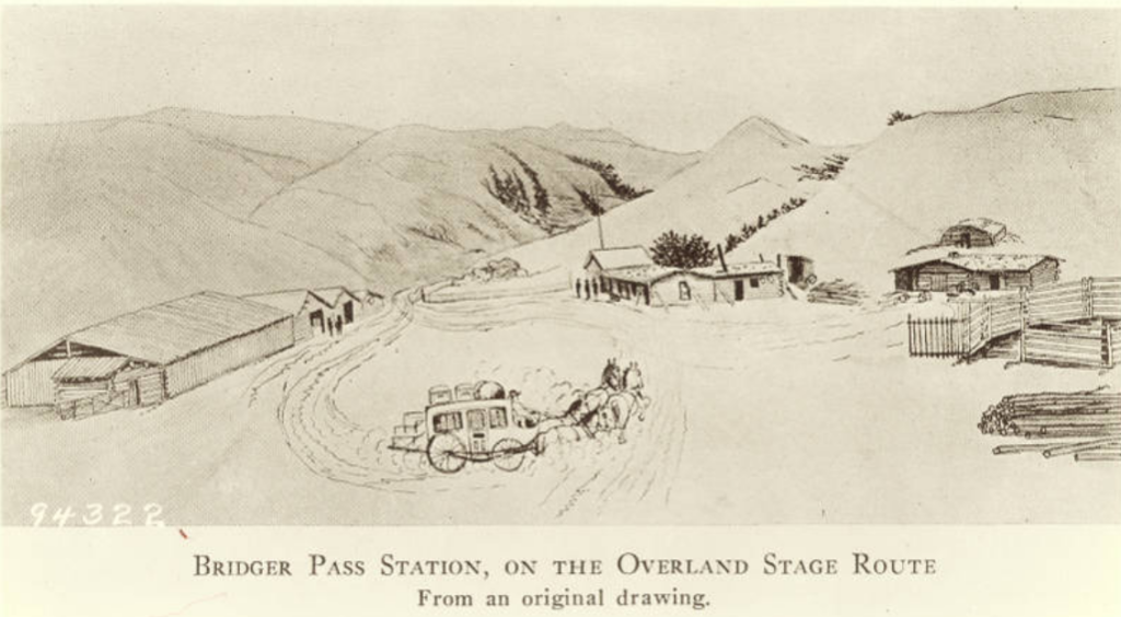
Bridger Pass Station
18N90WS24SW/18N89WS19SE
41.51729091918754, -107.47106552531326
The Bridger Pass Station was located about 3 miles west of Bridger Pass (discovered in 1824 by Jim Bridger). Among other attacks, Indians raided the station in spring 1865, taking what supplies they could carry. Later, a Sioux party burned the log station. They stole the station cat, decapitated it, and left the body in the middle of the road. Along with the staff at Pine Grove, the station staff fought their way west to the Sulpher Springs Station.

Next: Bridger Pass to Duck Lake