Detailed map: Almond to Rock Springs
In this mapping, a third source of information suggested the route
between Almond and Salt Wells followed the MAG dots.
These traces faded away before the probable location of the Salt Wells Station
Remnants of the old Overland Road are in the midst of civilization from here to Green River. From Almond Station, the Overland Trail essentially follows what is now I-80. The trail remained in use even after the Transcontinental Railroad was completed and Wells-Fargo sold off the line to local companies. Later, parts of the trail became parts of the Lincoln Highway, then US 30. Sections of it remain parts of the I-80 service roads, stray ruts along the right-of-way, or under I-80 itself.
Access west to the Overland Trail is blocked off to motor vehicles at Almond …
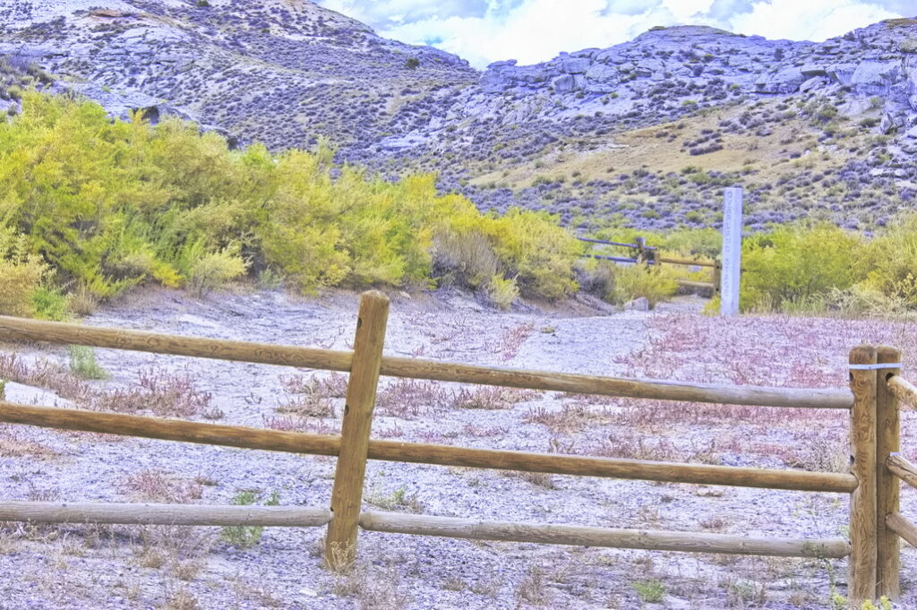
… but there is a walking trail west to a small cemetery maintained as part of the historical site.
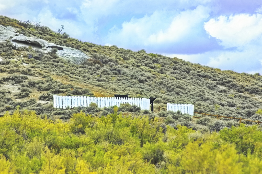
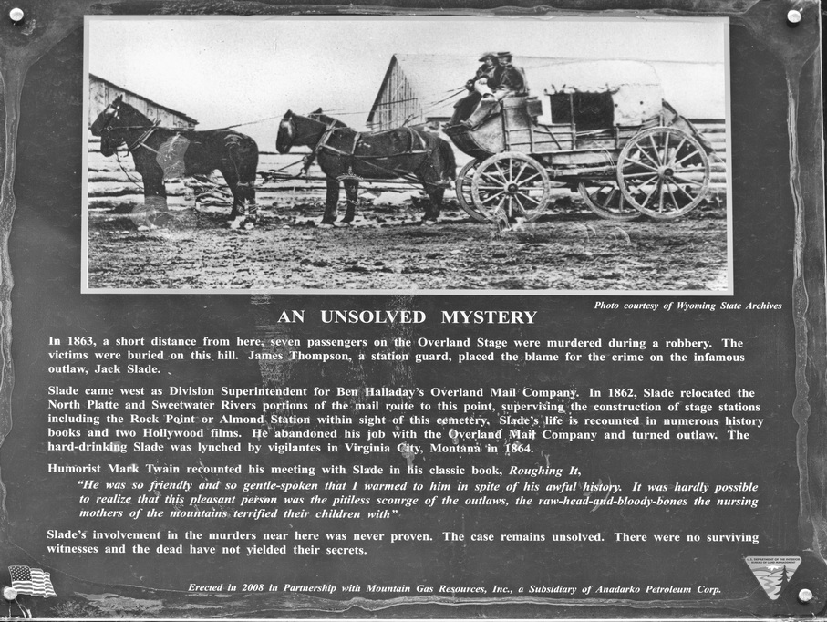
Jack Slade makes another appearance in this tale of the Overland Stage; the graves here are attributed – but not proven – to a robbery he (maybe) committed.
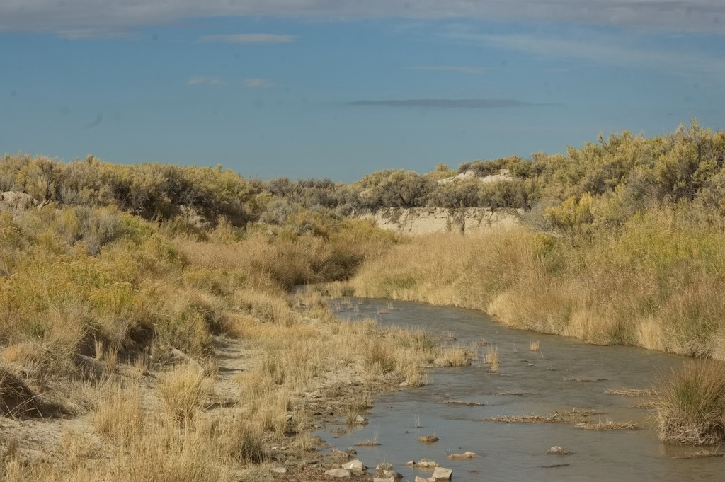
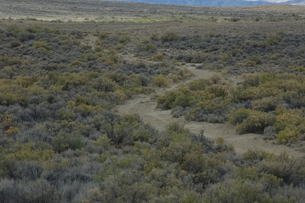
My tire tracks on the road
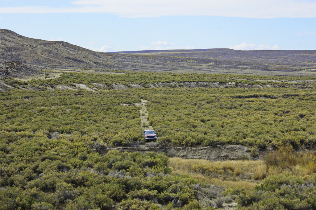
Salt Wells Station
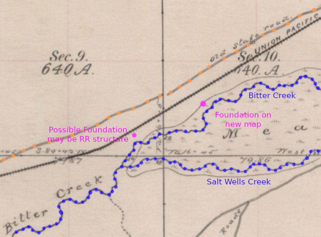
I found it hard to locate the actual site for this station. Comparing the 1800s map with the 1983 map show widely different paths for the road in the vicinity of Salt Wells. Following the road west from Almond, both maps are fairly close in agreement until the vicinity of Thayer Junction on the RR – which itself has been relocated a bit – straightening out curves, grades, and such.
After this point, the older map shows the “Old Stage Road” closely in line with the railroad as it was (keeping in mind the Stage line existed before the railroad) while the newer map shows the Overland Road more closely following the bluffs along the south bank of Bitter Creek. There is a large divergence where both Black Butte Creek and Salt Wells Creek come out of the hills; again, the older map showing the stage road along the RR and Bitter Creek, the newer map showing “Approximate Route” closer to the bluffs – pulling away from Bitter Creek which now mostly parallels the RR.
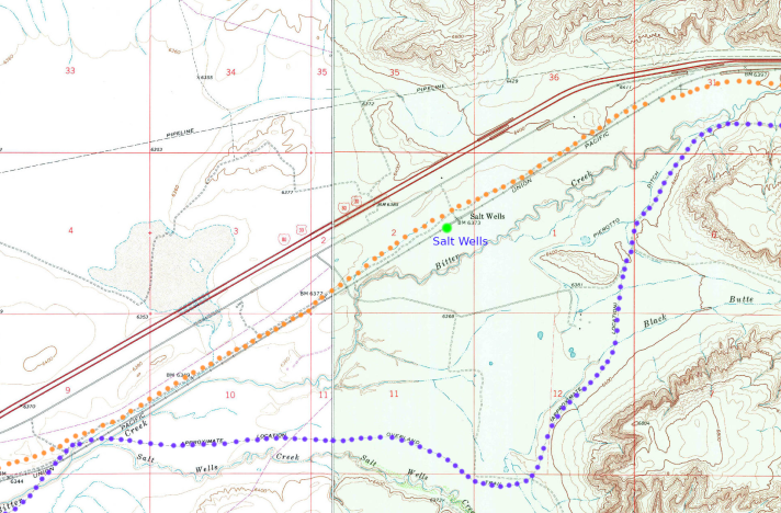
Information available suggest the station was near the confluence of Salt Wells Creek with Bitter Creek. Other evidence suggests the station was near the junction of what today is Salt Wells Ranch Road with Overland Road. The modern map shows the Overland Road near that point, but neither map suggest a road past that point. On the other hand, the older map indicates a “Stone Building” at yet a third point, possibly near a feasible Overland Road not apparent on either map.
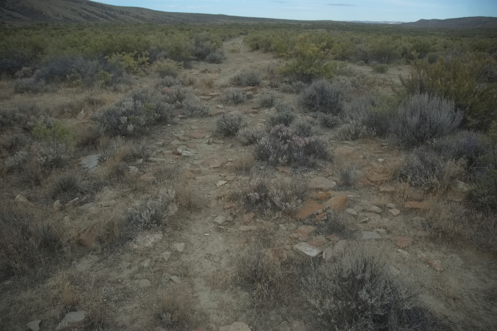
but I think this is newer
Neither map indicate a station location, both map roads converge near the junction of the two creeks. Early information suggesting the railroad followed the stage trail, my thought is that the older map is correct on the Overland Road route and that the stage station site is near the convergence of Salt Wells Creek with Bitter Creek … as it was at the time. Bitter Creek at this time is closer in nature to a ditch paralleling the railroad. I do acknowledge I may be flat out incorrect. This also implies that the photos I took of the supposed site are incorrect.
Considered locations for Salt Wells Station site
19N103W
41.65496838561467, -108.9864906190434 not likely Salt Wells Station (probably RR) on 1873 map
41.633915255995156, -109.02661076934272 near confluence of Salt and Bitter creeks
41.64883012286639, -108.97285533661955 near intersection of Salt Wells Ranch Rd and Overland Trail Rd
41.64538228816016, -108.99340088931915 possible “Stone Building” on old map
41.64288426709467, -108.99939386827178 more likely “Stone Building” on old map
19N103WS10- near center
41.63638809288189, -109.01820847004032 could be foundations. My favored location
Tracking down these possible sites is a bit of interest to me. Below is an image where I’ve combined several maps: the 1877 survey map, the 1908 “resurvey” map, USGS topo maps from 1968 and 1978, 2024 township/range aerial images, as well as Google Maps 2019 and 2025 images.
None were decisive.
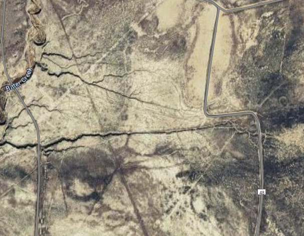
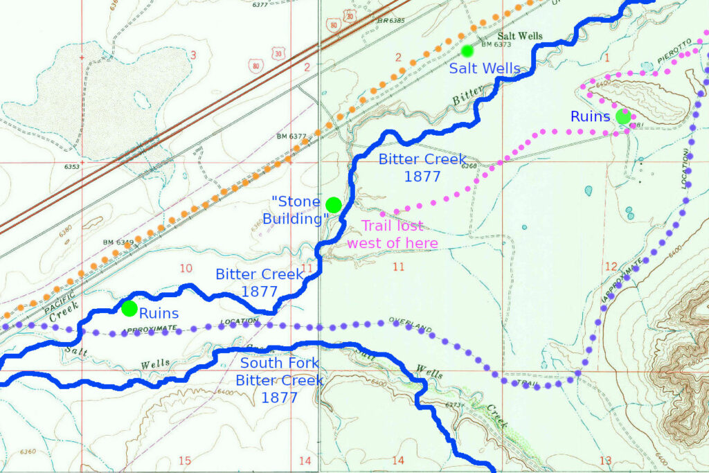
This is a section of the detailed maps of the route between Almond and Rock Springs focused on the Salt Wells region. The only artifact common to all is the railroad which still follows the original Transcontinental Railroad route.
The trail gets lost among the changes in the area – man-made and natural – since the time of the Overland Stage
The BLU lines represent the river courses given by the 1877 survey. What is now named “Salt Wells Creek” was then known as “South Fork of Bitter Creek” (as late as 1908; possibly longer)
As usual, ORG dots are the Overland Road as defined by the 1877 survey map, PUR dots follow the USGS “approximate” route. The four GRN dots represent locations of: ruins at the base of a hill at the modern intersection of Overland Trail and Salt Wells Ranch RD; the Salt Wells RR station/section house (no longer in existence); a “stone building” noted on the 1877 map; and a set of ruins located on modern aerial images. The first is not the stage station but either of the other two could be – or neither with the actual station located elsewhere (in the vicinity).
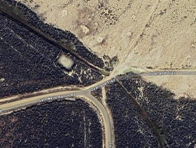
It fit some sources but I’m no longer convinced this is correct

By 1877 map, the Overland Road is adjacent


Location of “Stone Building” from 1877 map. The image on left is close-up of likely location.
Possible stage station location?
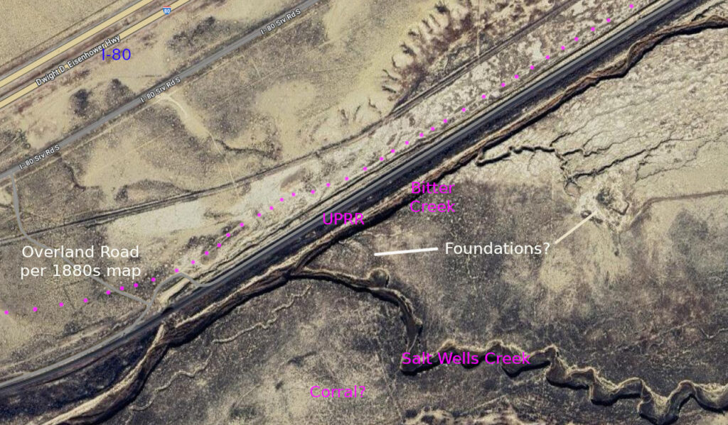
Intersection of Bitter and Salt Wells Creeks. Possible artifacts.
I tend to favor the right-most location but some sources suggest the station was near the tracks
and the UPRR removed the building for use elsewhere, possibly the Salt Wells RR facilities
The 1870s map indicates the Overland Road “Old Stage Road” parallels the RR on the north side. This same map sequence does show Almond Station (“old stage station” at Point of Rocks) and Overland Trail westward from there. The detailed map follows this course.
I now believe the right-most dot is the correct location
I could be wrong …
The Salt Wells swing station was located about 14 miles west of Almond and still on the banks of Bitter Creek. The creek water is not drinkable so three wells were dug to supply water for the station. The station master charged travellers for water from the wells (although such was included in the price of the ticket); after discovering the creek water was so salty, they paid or went without.
It is reported the Salt Wells swing station is located near the point where Salt Wells Creek flows into Bitter Creek but is unclear whether that is the present confluence of the at-the-time confluence. It is claimed that remains of the foundation are present with evidence suggesting the station had a flagstone floor and a complex roof structure – which is not explained. The station was torn down for use by the Union Pacific in 1868. The closest known structures on the UPRR were those at “Salt Wells” – not the Salt Wells of the stage line.

The suspected site of Salt Wells Station would be center just beyond RR tracks
By 1877 map, Overland Road was just this side of the railroad
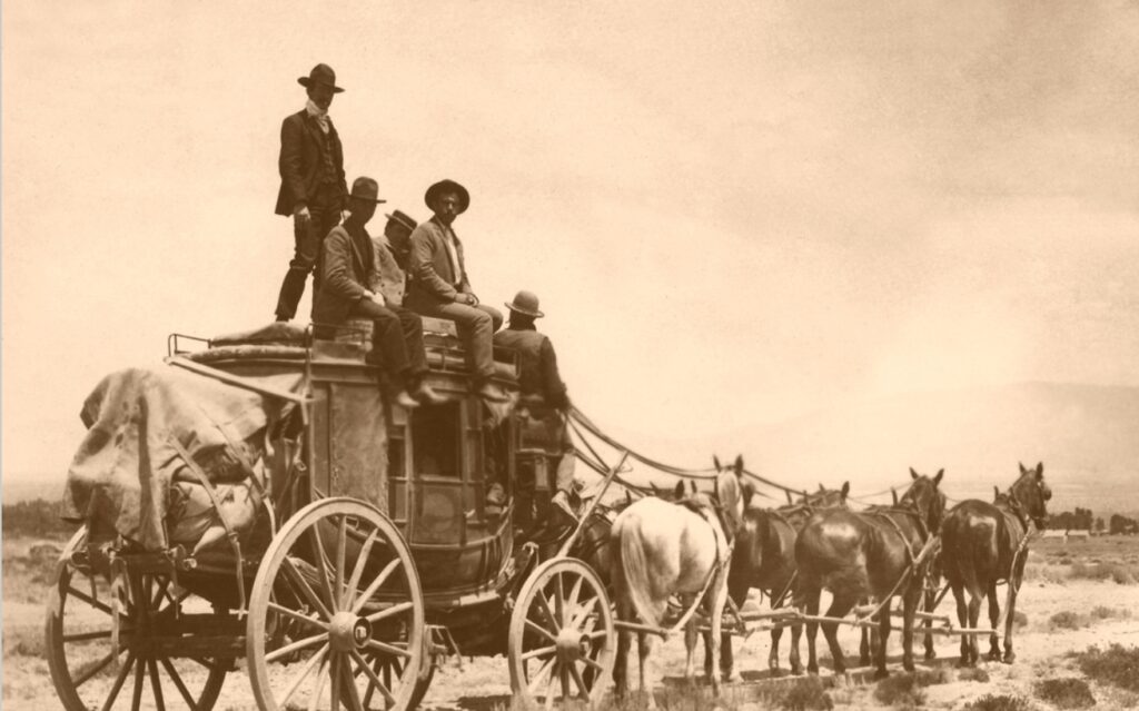
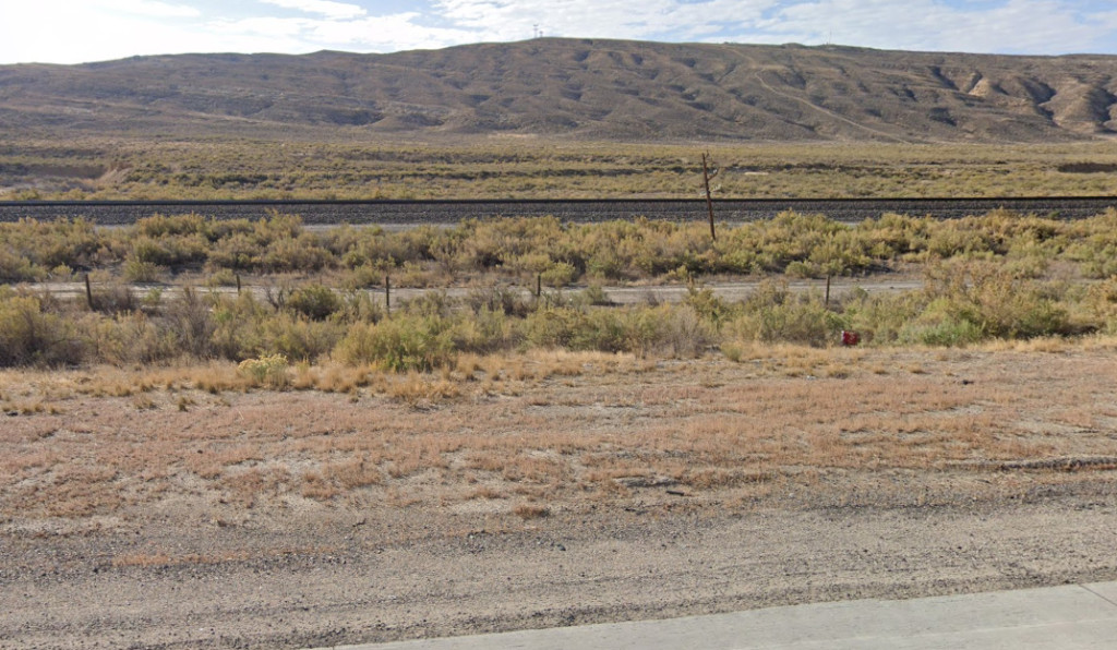
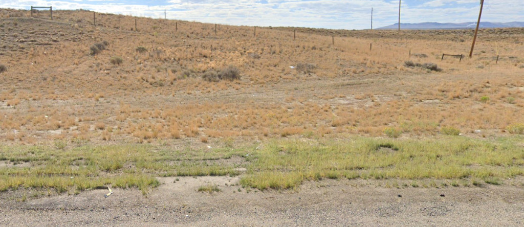
The Overland Road is buried under or travels alongside the railroad from Salt Wells to just past Exit 111 on I-80 whereupon it runs in the narrow strip between I-80 and the Railroad. At the east exit of I-80 into Rock Springs, the trail follows the business loop – old US30 – across the north side of town forming a loop where the station site is located with a historical marker on Spring St on the south side of I-80. However, USGS maps indicate the station is located a bit west near a business complex off Winterhawk Dr.
Rock Springs Station
19N105WS23SWSW
41.60368266649763, -109.23238568706222
Rock Springs Station – named for nearby springs of good fresh water – was construction of sandstone on the west side of Killpecker Creek. The town of Rock Springs did not exist at this time – not until the railroad came through.
Killpecker Creek was named for the effect on men due to high levels of saltpeter (potassium nitrate) in the water.
This was a larger than normal swing station, about 60 feet by 25 feet, with gun ports every ten or twelve feet, bandits and Indians being a constant threat. The roof was typical of swing stations, built of logs and brush overlaid with dirt. The main door faced the south with the corral close by. Within the building were six stalls for horses which were kept harnessed and ready for the incoming coach. There was a granary for supplies, and then the large room with the huge fireplace.
The first station attendants were native Scots – Archie and Duncan Blair – who had failed at prospecting in California. They moved to the Dakota Territory meaning to prospect around Jackson’s Hole.
A marker has been placed in the city of Rock Springs near where Springs Drive passes under the I-80 underpass. The town of Rock Springs never relied on stage traffic; it developed for the nearby coal mines for the railroad. The coal mines are (or were) still active.
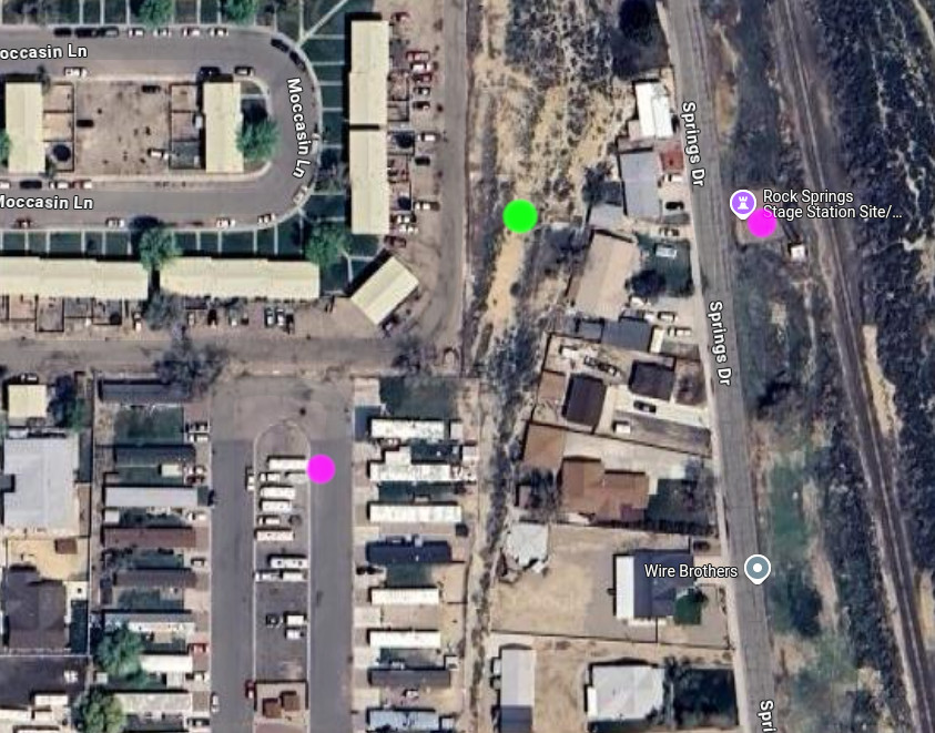
1884 map places station at the GRN dot
A section of preserved Overland Trail ruts and interpretive signs are located NW of town proper at the Stagecoach Elementary School
41.60307625178793, -109.26421834881666
