
I-70 Utah Spotted Wolf Canyon
submitted by illinoisbeekeeper via email
Best shot I have from the observation point
second runaway ramp visible
several million cu yds of rock moved in the building of I-70
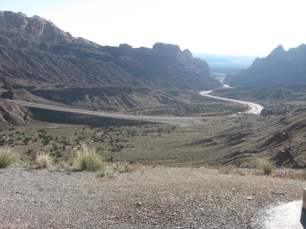
looking east towards Green River
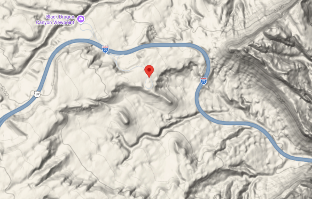
From a highway marker at 38° 56.025′ N, 110° 28.347′ W
They call it the San Rafael Reef, a 30-mile-long stone barrier, a sawtooth ridge at the eastern edge of nowhere. For centuries, only the most intrepid travelers found their way through its narrow slot canyons and on to the Green River crossing. The early Spanish explorers detoured 20 miles north to avoid the forbidding wall. In 1883 the Denver and Rio Grand Railroad also avoided breaching the Reef, laying track just east of its sheer walls, north to Salt Lake City. In 1957 the decision was made to increase the nation’s interstate highway system and I-70 was engineered to bisect the San Rafael Swell. Here, at Spotted Wolf Canyon, workers could stand and touch both walls of the canyon before construction began in October 1967. Engineers and surveyors used body harnesses and ropes to work as high as 400 feet above the canyon floor. Crews excavated 3.5 million cubic yards of rock from the area at a cost of $4.5 million for eight miles of road. On November 5, 1970, the Utah Department of Transportation opened the 70-mile section from Fremont Junction to Green River for two-lane traffic. Two more lanes were added in the mid-1980s.
The two lanes were added later but until they built the other two lanes, a large road cut, visible for miles, sat with no road through it.
DT:
A long time ago when I travelled quite a bit between the eastern Sierra and the West Slope, I-70 was still essentially a 2-lane highway with no services between Green River and Salina where 70 ended at a pile of dirt at the Salina exit (as US50 west from there), a bit over 100 miles. My travel eccentricities caused me to "camp" off the road a bit and - as a "normal" 2-lane road, I could find a place to pull off and head out into the dirt a half-mile or so and crash for the night.
Can't do that anymore - I-70 became civilized with fences, limited access, rest areas, and paved parking. But that 100-miles of road is still one of my favorite stretches of Interstate in the country; far different than the eastern end (in Baltimore).
I-70 now is complete and heads south from Salina, essentially nullifying US89 between Salina and Sevier, to end at I-15 at Cave Fort. US50 still splits off from I-70 at Salina heading west across Nevada to its end at I-80 in Sacramento.