Detailed map: LaClede to Almond
It was a cloudy, misty day when I travelled this stretch of the trail – it had rained the night before … but “fools rush in …“
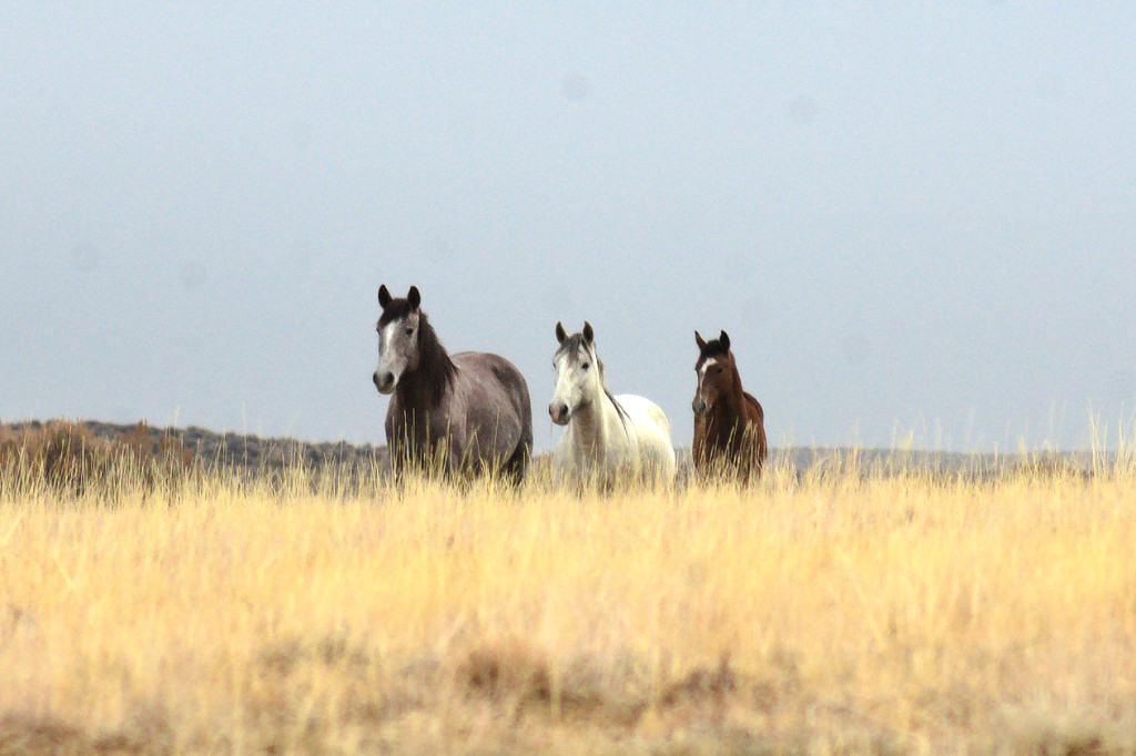
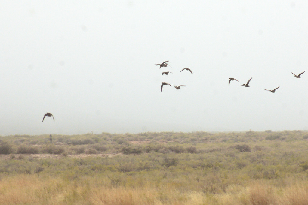
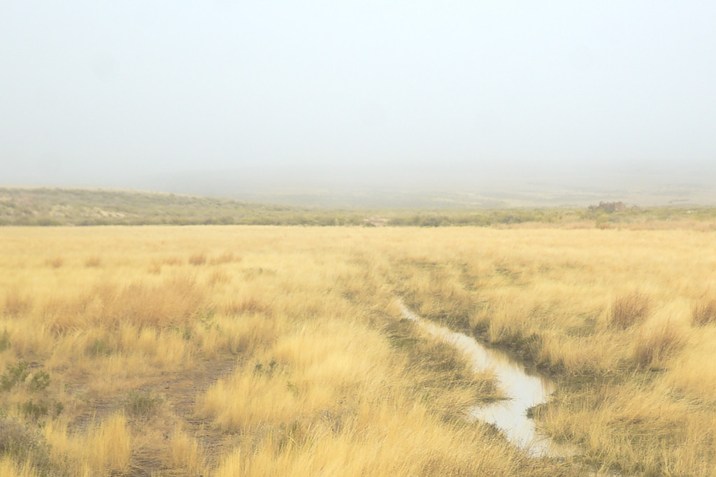
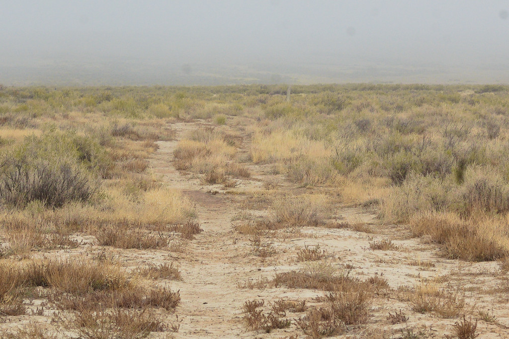
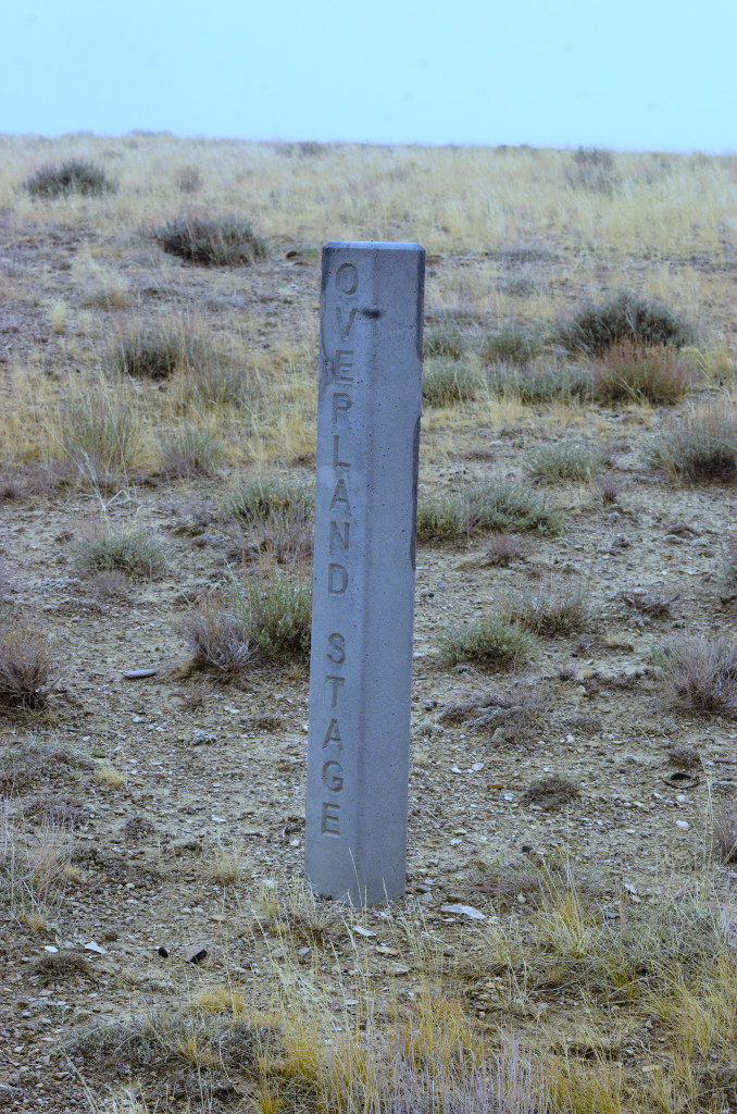
“In vain the yells and curses of the teamsters doubled and redoubled, blasphemies that one might expect to inspire a mule with diabolical strength; in vain the fearful ‘blacksnake’ curled and popped over the animals’ backs, sometimes gashing the skin, and sometimes raising welts the size of one’s finger. For a few rods they would struggle on, dragging the heavy load through the clogging banks, and then stop, exhausted, sinking to their knees in the hot and ashy heaps. Then two of us would unite our teams and, with the help of all the rest, drag through to the next solid piece of ground, where for a few hundred yards the wind had removed the loose sand and soda and left bare the flinty and gravelly subsoil. Thus, by most exhausting labor, we accomplished ten or twelve miles a day. Half an hour or more of temperate coolness then gave us respite till soon after sundown, when the cold wind came down, as if in heavy volume, from the Snowy Range, and tropic heat was succeeded by arctic cold with amazing suddenness. On the 27th of August one of my mules fell twice, exhausted from the heat; that night ice formed in our buckets as thick as a pane of glass.“
Big Pond Station
17N99WS01NENE
41.483696688467624, -108.50442705195535
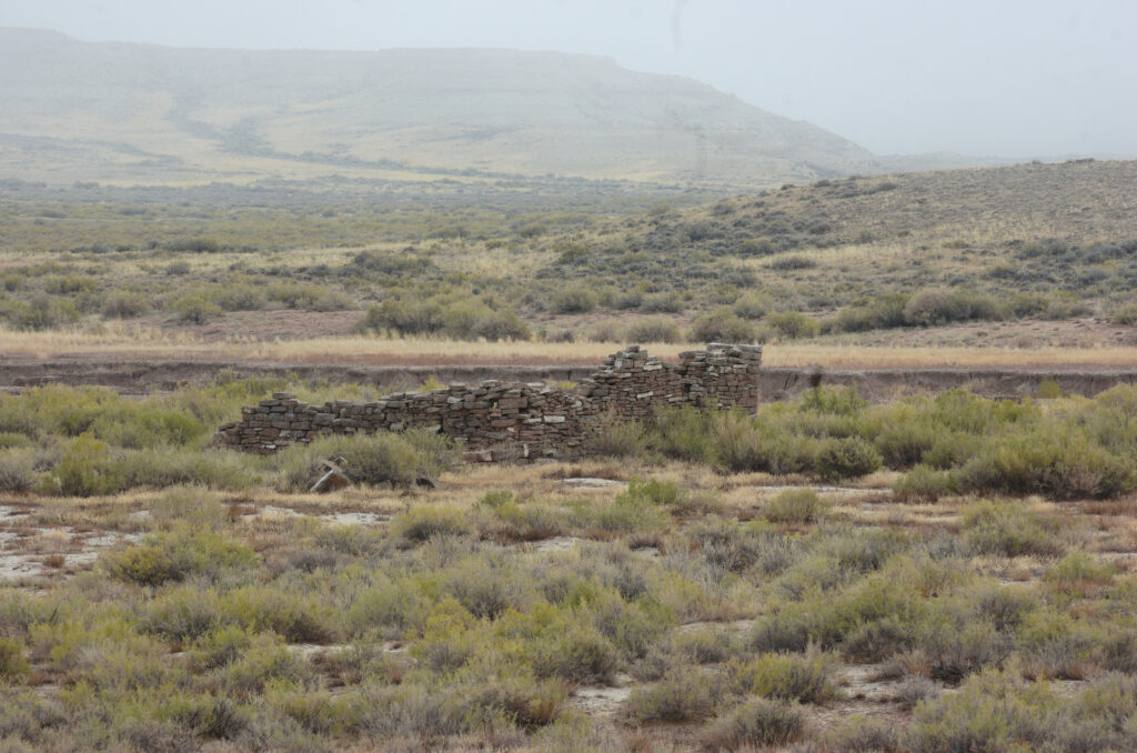
The Big Pond swing station was located along Bitter Creek about 12 miles NW of LaClede. Some remains of the station can be seen to the east of Bitter Creek Road next to the (usually) dry lake. It wasn’t dry the day I explored.
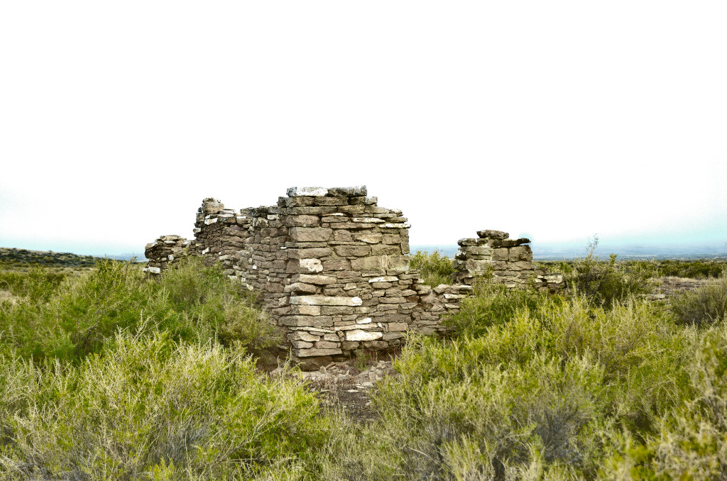
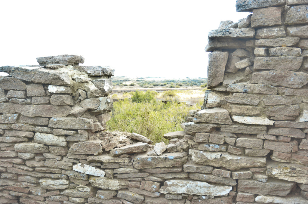
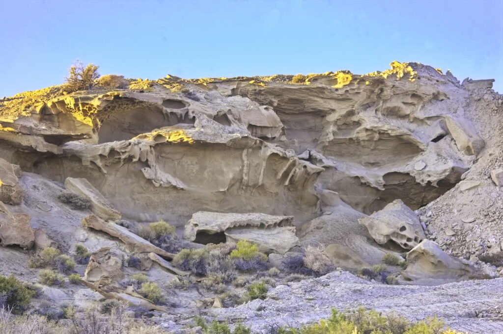
The station was constructed of slabs of sandstone common to the area; some showing evidence of fossils. Based on remains, the station buildings were not clustered together. One building was built over a well and had a fireplace. As would be expected at a stage station, remnants of a corral are evident.
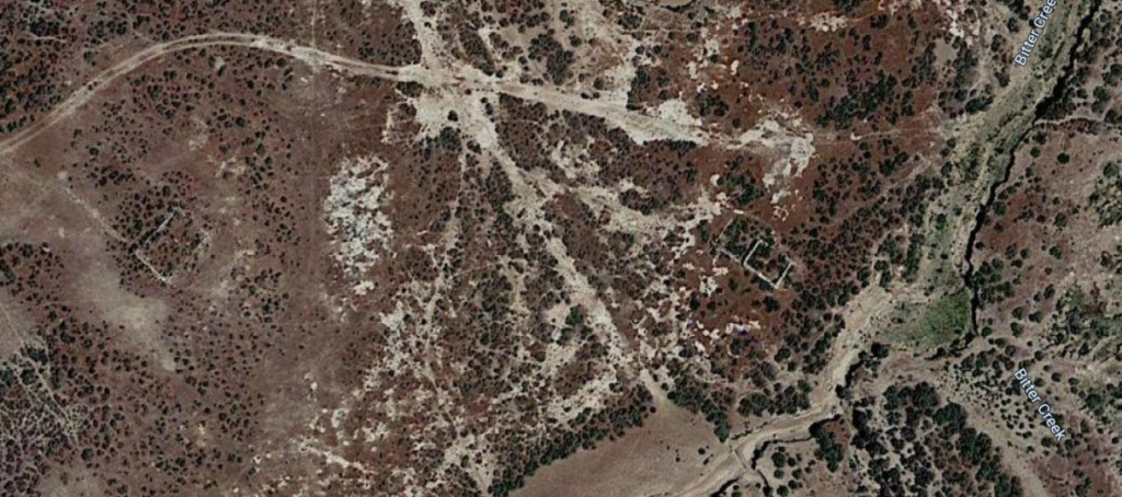
Remains of foundations and walls of at least two buildings are present. Immediately south of the stage station are the remains of an early twentieth century sheep shearing complex. The Big Pond station buildings were reused for sheep ranching following the end of the Overland Trail stagecoach operations. The day I was there was wet and muddy; I didn’t wander around the mud much.
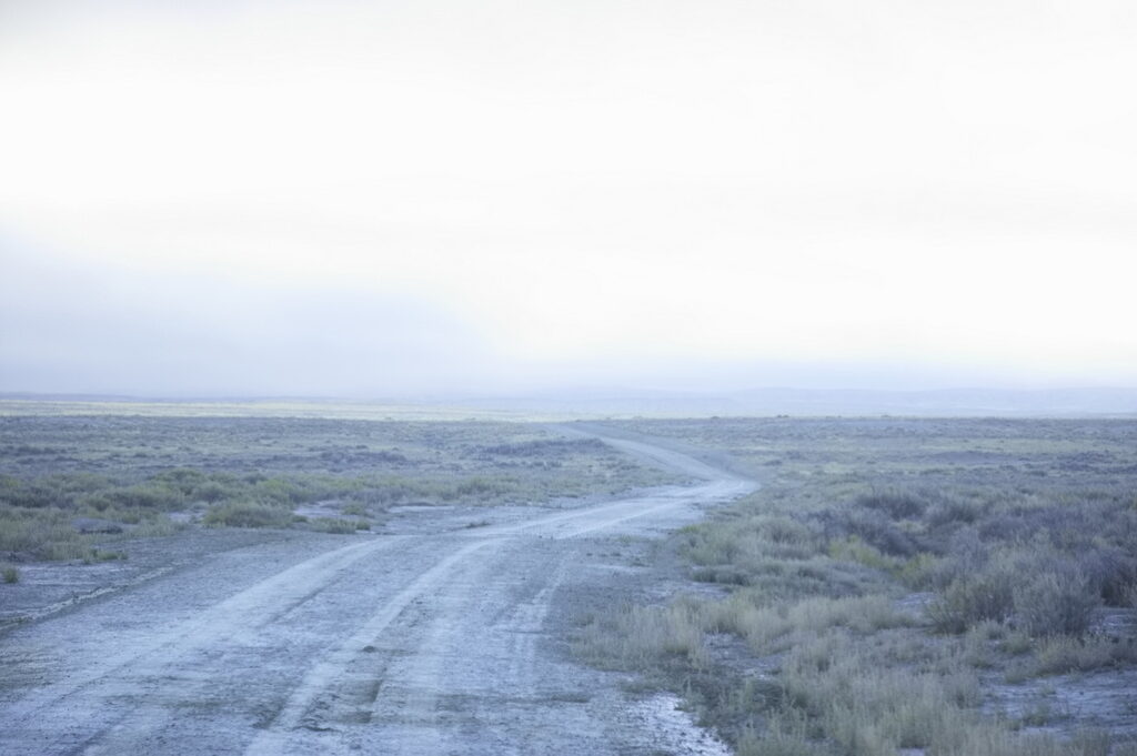
I got mud splashed up on my pretty truck …
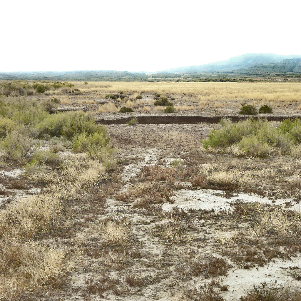
Like potholes in Michigan
The old road went straight ahead.
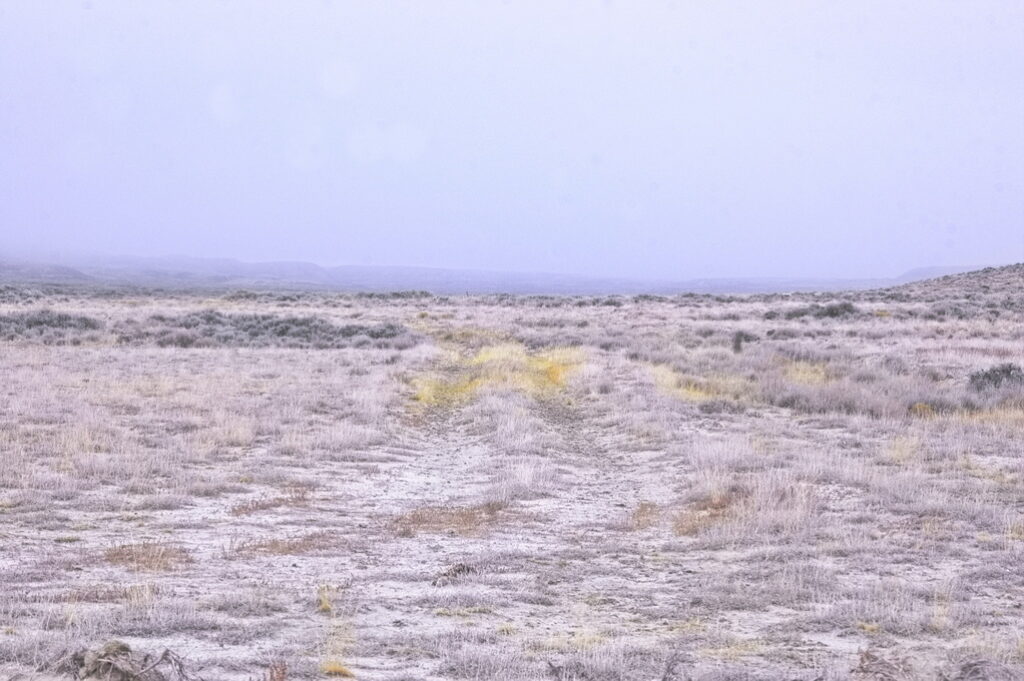
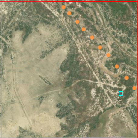
ORG dots indicate trail on old maps and seem to fit ruts on the ground
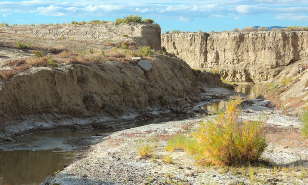
Bitter Creek ran somewhat north of its current position back when;
the road was along the south bank of the creek
Here, the creek has cut the trail
The Big Pond station saw its share of Indian problems, with five soldiers sent there in June 1865 from Company B, First Battalion, Nevada cavalry from their headquarters at the Washakie Station to protect the station inhabitants and livestock. On July 20, 1867, a group of 150 Indians descended upon the Big Pond station and burned it, but it was rebuilt.
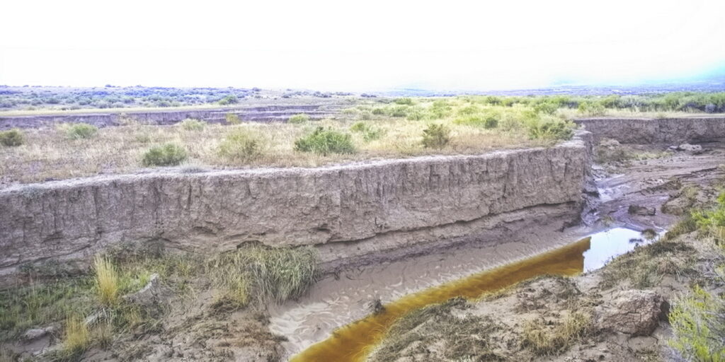
Must have been quite the flood to break up this much dirt
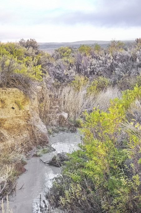
Thirsty? There’s your water.
The sun played peek-a-boo most of the day I was there. It had rained the night before which made poking too far off the main “roads” a questionable activity.

Black Butte Station
18N100WS16SENW
41.53553689913021, -108.68971550280146
The Black Butte station could be considered this journey’s return to civilization – at least nowadays. Located along Bitter Creek adjacent to the now-present UPRR (the former Transcontinental Railroad) and on the grounds of an active (or was at the time I visited) coal mine, the road along the station site is well maintained – it’s a mine haul road; suitable (but not recommended) for passenger cars. The stage road was here several years before the railroad and in its time, just as desolate as the more easterly stations along Bitter Creek.
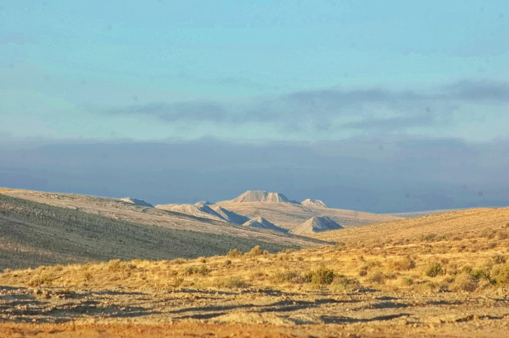
Located about fourteen miles NW of Big Pond, and about the same south of Almond, the station was named for a nearby large black colored butte west of the station. The waters of the creek were so alkali that the station cook added oatmeal to hide the taste. I can’t imagine such was successful.
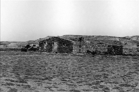
The site is fenced off but directly off a main road and only a few hundred feet of the railroad – the railroad that caused the demise of the stage line
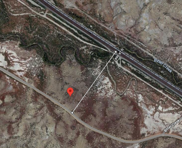
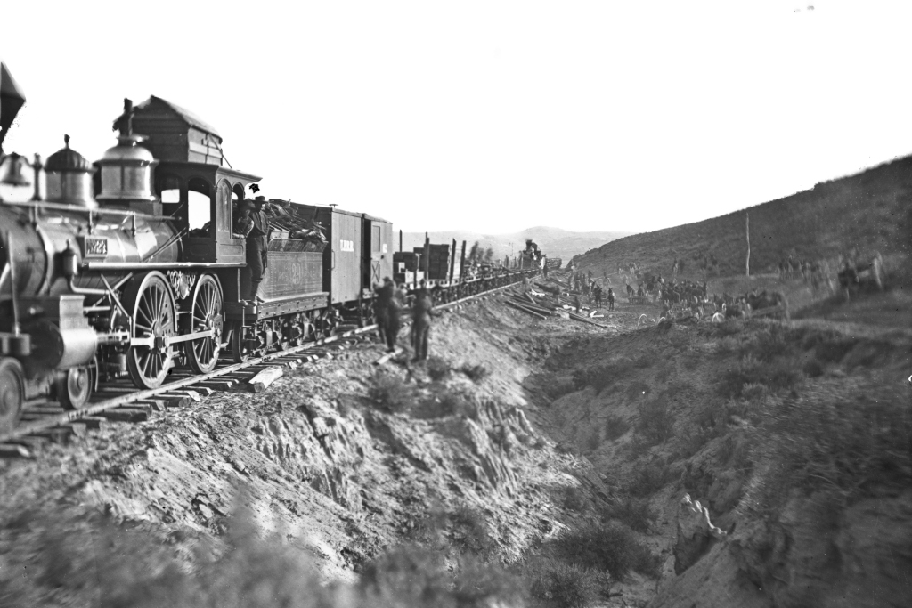
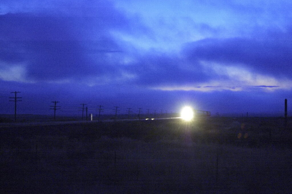
It was near this station that emigrants discovered coal in the area and was used a fuel in their camp fires. Today the Black Butte station ruins are are on land owned by the Black Butte Coal Company. They’ve erected a fence around the ruins, and will conduct a guided tour. The foundation and wall remnants of the station itself and a small outbuilding still exist.
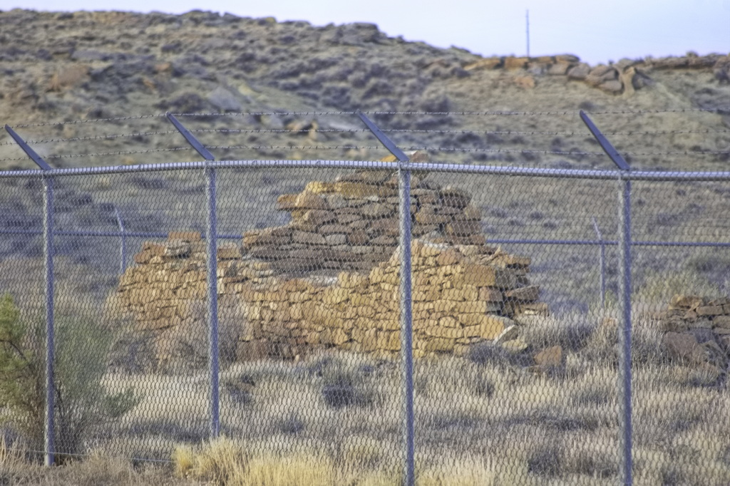
The roads near this site is/was an active mine haul road. Like lumber trucks, they have low tolerance for “not-us” vehicles … and the right-of-way.

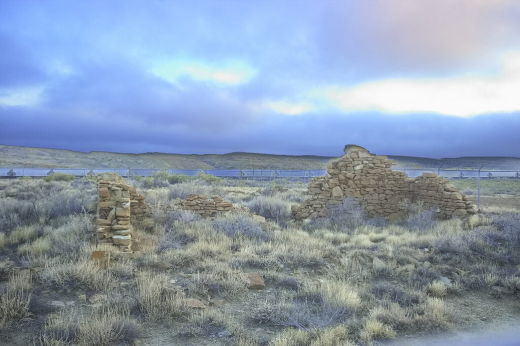
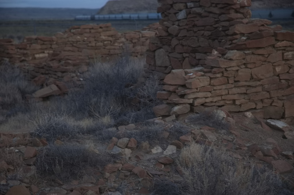
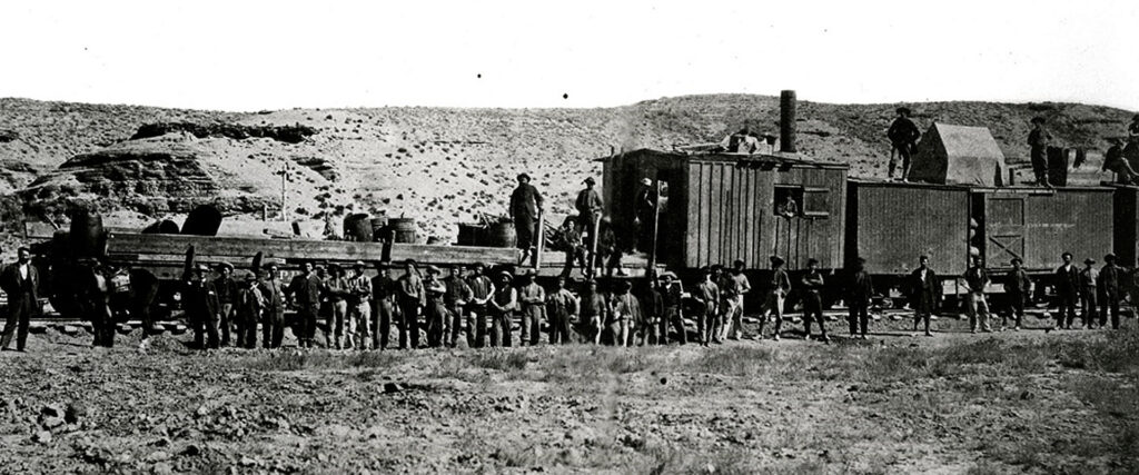
Overlapping the time of the stage operations (by then Wells-Fargo), the railroad built a station – Black Butte Station – at the entrance to a canyon (leading to the coal mines) about ¾ mile away from the still-active stage station alongside the tracks. A town of sorts developed there as coal operations and railroad facilities expanded; it served as a whistle stop station and refueling station for the locomotives. The town once had a population of more than 500 – a post office opened in 1890. The coal proved poor in quality compared to the mines around Rock Springs, the railroad had improved facilities elsewhere, and the town disappeared sometime after 1925. Nothing remains and there is surprisingly little information about the town.
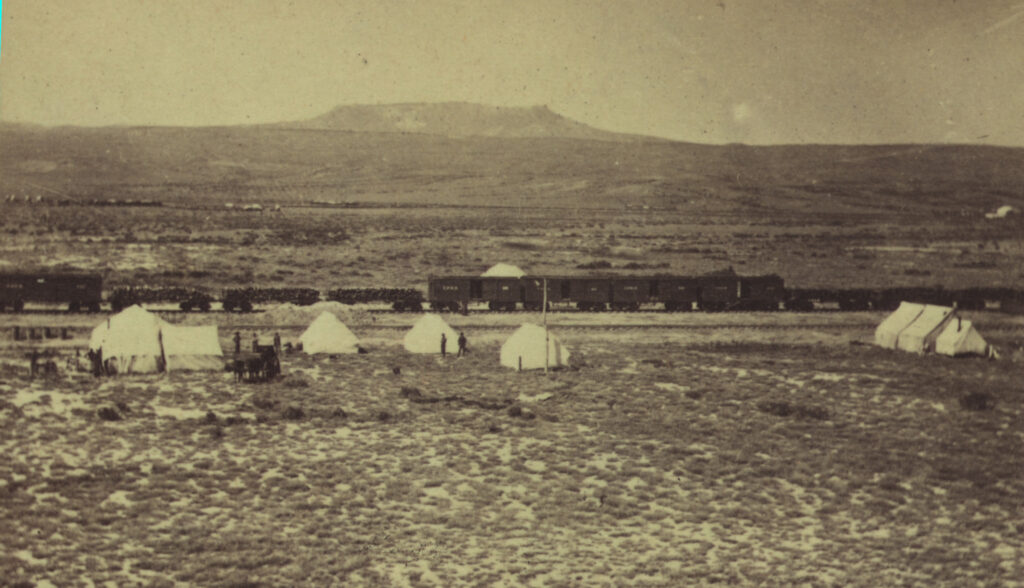
wagon train on the still-active Overland Road visible in distance to left


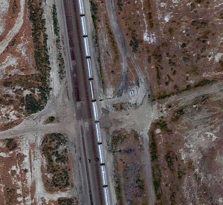
Overland Road off image to left
And so, on to Almond …
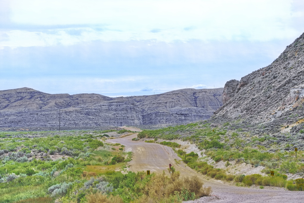
Looking south towards Black Butte Station from Almond Station
At this point, this road is the old stage road
Almond Station (Point-of-Rocks)
20N101WS27SWSW
41.67661056143236, -108.791717685863
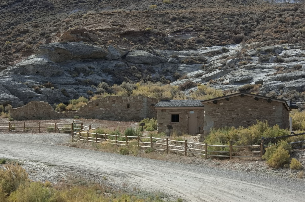
The Overland Road rejoins the I-80 corridor at Point-of-Rocks. The station itself is right off an expressway exit and is maintained by the state of Wyoming in a state of arrested decay.
Fourteen miles NNW of Black Butte station, the Almond station is also located near Bitter Creek at the base of some spectacular sandstone formations. Unsurprisingly, the station was constructed from sandstone. Unlike Black Butte Station, there were nearby springs which supplied cold, pure water. Some reports suggest this was a home station; some state it as a swing station. It seems more likely this was a home station.
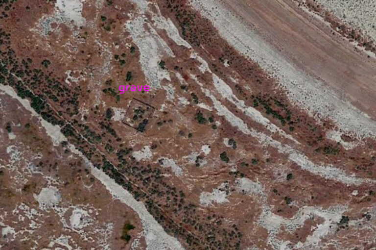
It is reported that in 1863, Jack Slade, the now ex-division superintendent of the Overland Stage, robbed the stage near Point of Rocks. Slade is rumored to have killed seven passengers who are now buried in a nearby cemetery. That allegation was never proven. Butch Cassidy also hid out in this vicinity after robbing a train.
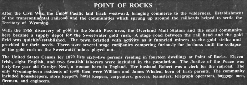
When the Union Pacific Railroad reached this area in 1868, the Point of Rocks station became an important juncture point for freighting companies going to the South Pass gold mines. It was this freighting business that caused Point of Rocks to remain a viable town for many years. Today it has an exit on the interstate – presumably to allow access to the coal mines; the “town” has a population of 3.
The State of Wyoming owns the station ruins and cemetery which are on the National Register of Historic Places.
Some reports suggest Almond (Point of Rocks) was a home station – which it likely was – but it was not a Pony Express station. After the stage lines faded away, it became a private residence until sold to the state of Wyoming in 1947.
Approximately 1.6 miles east of the Point of Rocks Stage Station on the east side of Bitter Creek are active sulphur springs (not to be confused with the Sulphur Springs home station on Muddy Creek in Carbon County). A large emigrant inscription register is located along the cliffs at these springs. They are difficult to get to as there are no readily available places to cross the railroad with a vehicle.
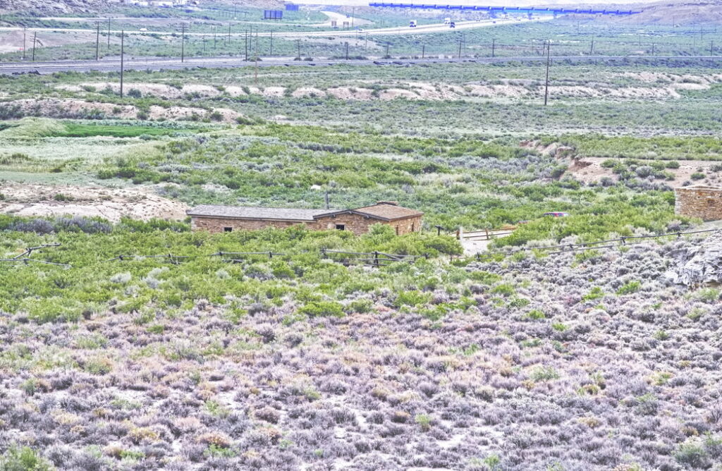
The Union Pacific Railroad – the original route of the Transcontinental RR
and I-80 along with a short segment of what was US30/Lincoln Highway
in the background
Point-of-Rocks proper lies to the left just out of photo
The Overland Road passed across the photo this side of the center building
