
Outstanding Oregon Trail Exhibit
Submitted by illinoisbeekeeper; commentary by yours truly.
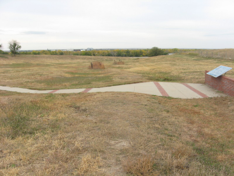
I-80W MM159 10-09-2014 mid afternoon as I recall
Bricks in the concrete walkway are exactly when the wagons' tracks were. The wagon wheel rims in the background of the info tablet are positioned on the original trail.
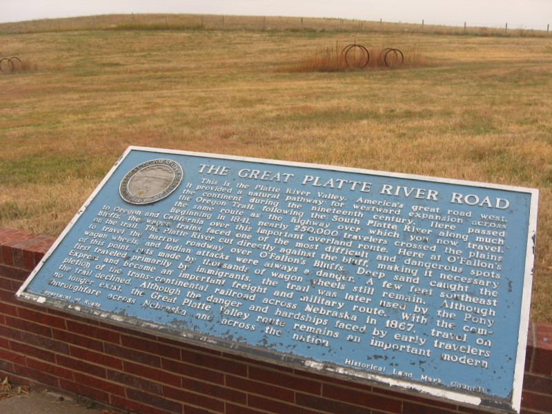
The Great Platte River Road
This is the Platte River Valley, America's great road west. It provided a natural pathway for westbound expansion across the continent during the nineteenth century. Here passed the Oregon Trail, following the South Platte River along much the same route as the highway over which you now travel. Beginning in 1841, nearly 250,000 travelers crossed the plains to Oregon and California over this important overland route. Here at O'Fallon's Bluffs, the wagon trains faced one of the most difficult and dangerous spots on the trail. The Platte River cut directly across the bluff, making it necessary to travel the narrow pathway over O'Fallon's Bluffs. Deep sand caught the wagon wheels, and Indian attacks were always a danger. A few feet southeast of this point, cuts made by the thousands of wagon wheels still remain. Although first traveled primarily by immigrants, the trail was later used by the Pony Express and became an important freight and military route. With the completion of the transcontinental railroad across Nebraska in 1867, travel on the trail declined. Although the danger and hardships faced by earlier travelers no longer exist, the Grate Platte River Valley route remains an important modern thoroughfare across Nebraska and across the nation.
From Wiki:
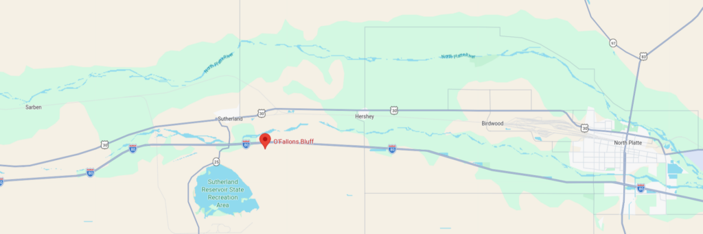
O'Fallons Bluff is a section of bluffs about 20 mi long that run along the south side of the Platte River near Sutherland in Lincoln County, Nebraska. The Oregon and California trails ran up and over these bluffs. They were characterized by American pioneers heading west to Oregon and California as sparse in vegetation with a number of violent incidents involving Native Americans. In the early 1860s, a Pony Express station was located about 5 mi west of where the wagon trails went up the bluff. During construction of Interstate 80, the steep part of the bluffs were cut away but wagon ruts remained, which are marked by iron hoops signifying wagon wheels.
Also the route of the Overland Stage lines. The Mormon Trail followed the north shore (as does much of modern US30), the Oregon/California Trail followed the south (as does much of modern I-80 through Nebraska) ... but not as a hard and fast rule. The trail split at what is now North Platte where the river split; the South Platte leads to what is now Denver but the trail headed north into Wyoming near Greeley, CO. There's been enough settlement that with some exceptions, much of the trails are now under pavement or plowed fields.
The N. Platte route headed to Ft Laramie then west to roughly Casper, WY and over across the Divide at South Pass, WY. The two trails joined again at Granger, WY or Ft Bridger, then split again; the Oregon Trail heading north roughly along US189 to Ft Hall (where another split occurred) and along the Snake River to Oregon or the California Trail south through Echo Canyon, Salt Lake, and on to the Humboldt River across Nevada to California.
There are many variations to the routes taken at the time as explorers and scam artists attempted to find easier passage.
One of my soapbox topics ... :)
So I dig into maps ... Giggle is good for something, just not all things.
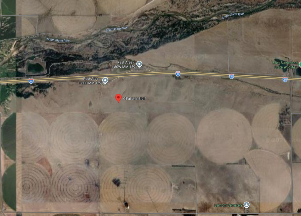
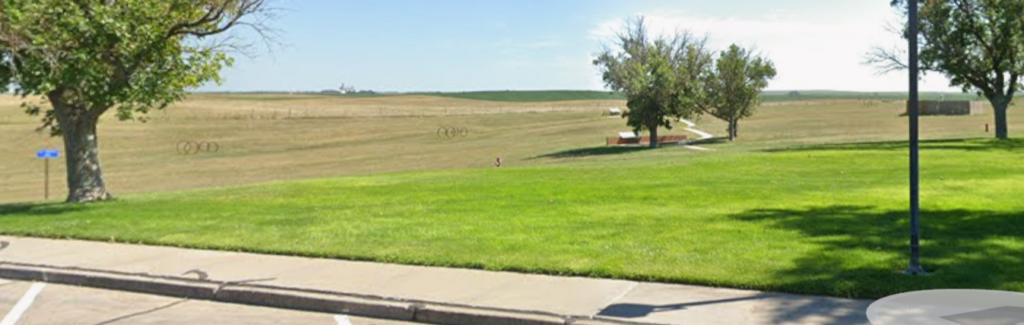
from the eastbound rest area
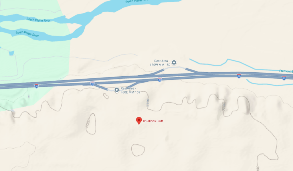
Of course, the topography has changed in the last 170 years
The marker is at a generic location