Headline: “High-Winds Derail Freight Train In Wyoming”
That was yesterday (Dec 19) between Cheyenne and Laramie with winds in excess of 144 mph
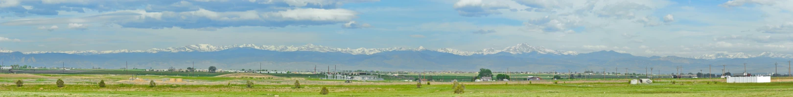
There’s a place west of Denver where the old Denver & Rio Grande RR (now Union Pacific) heads up into the mountains. Anyone that’s been there knows that “The Mile High City” sits in a valley and the mountains form a north-south wall about 10 miles west of the city.
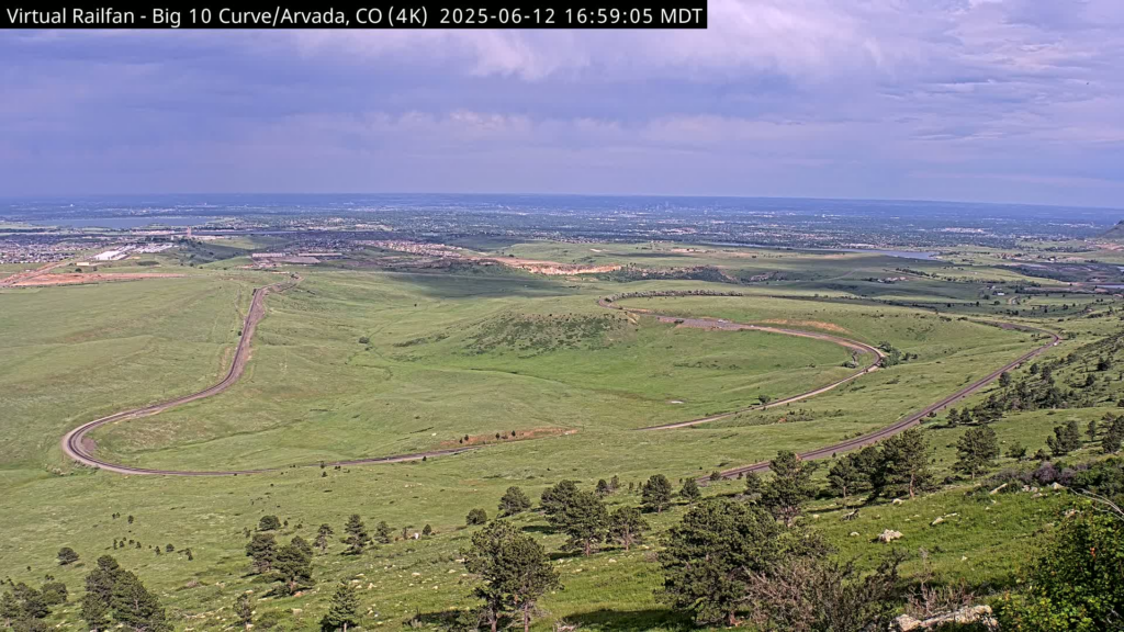
Just west of Highway 93, midway between Golden and Boulder, is a place on the railroad known as “Big 10 Curve” where trains pass through a tight switchback.
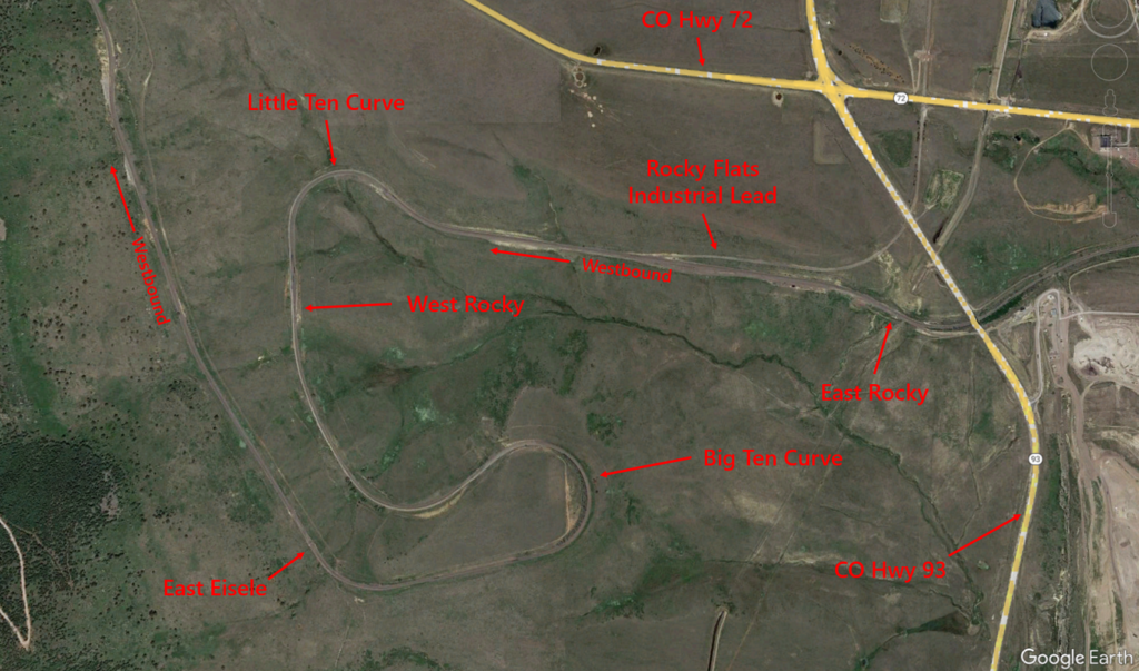
The trains need to gain over 300 feet in elevation in less than 1 mile; trains can’t climb a 10% grade – a 2% grade is considered steep.
The Front Range is a wide, almost uniform wall of grade; winds often exceeding 100+ mph can come roaring down that grade and can easily derail a train – especially if empty or high profile (those winds can disrupt traffic on CO93 as well).
This route was originally constructed in 1902. After a couple of wind-blown incidents, the D&RGW built a track along the curve, placed a string of 2 dozen hopper cars along it, welded the cars in place and loaded them down with concrete and dirt to act as a windbreak.
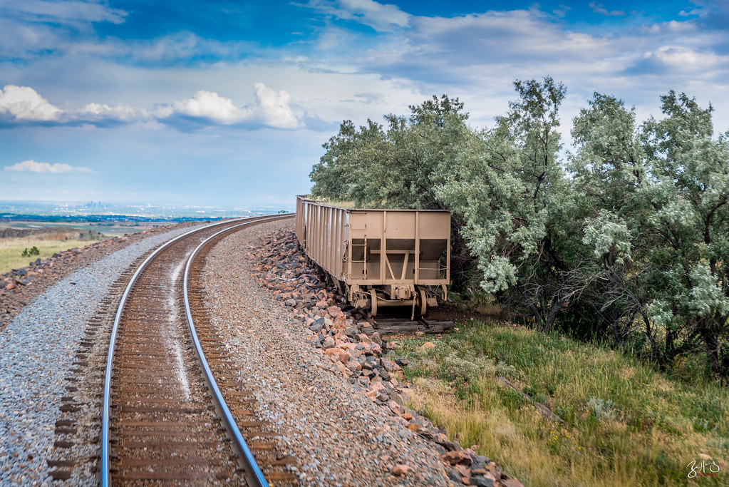
The hoppers were built in 1952 and used for maintenance service until placed as a windbreak in 1972 after a train derailment in late 1971.
This is the line Amtrak’s California Zephyr uses as well as the Ski Train from Denver to Winter Park. It passes through Moffat Tunnel which is the highest point (9200ft) on Amtrak’s lines.