
Old Roads
Heading down into Snake River Canyon. The river is just out of the photo to the left.
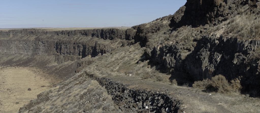
Sometime in the distant past, someone went through a lot of effort to build this wagon road. Funny thing though – it doesn’t show up on any maps going back to 1894. The “original survey” map of 1868 only defines township/range boundaries with few details other than the river itself.
This is not a casual path; carving into the basaltic rock and building up the roadway suggests a lot of effort was put into road-building and some heavy freight traffic at one time. Although not obvious here, the road does go all the way down to the river.
There is some evidence of a ferry operating near the foot of this road; this road on the north side of the river, Silver City is to the south. Comparing the construction methods with those of other locations in the region, I would speculate that this trail was built in the 1860s for stagecoach travel and probably fell out of use as better roads and bridges were being constructed by the 1880s. This road is not on an obvious route between the major mining regions of the time: Silver City and Boise Basin.
I’ve walked up and down this road – there is no obvious evidence of a ferry at the river although one is shown here on older maps. There is a faint trail along the edge which apparently was shown as a road in the 1890s and plenty of fallen boulders at the base.
One more curiosity I’ll have to pass on.