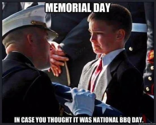
Today is Memorial Day …
Jean posted this in 2012 and suggested it to me. Even though he didn’t die in war, I didn’t want to wait until next March 11 so I thought I’d post it on Memorial Day … which is still worthy of a day to itself – May 30 – and not an excuse for a 3-day weekend.
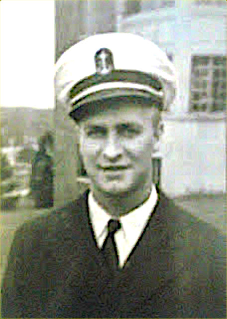
I know I’ve mentioned
before that my dad served
in the Navy on the
USS Randolph during WW2.
As is so common with veterans,
he didn’t share many details
of his service with his family.
He talked about learning to box
and getting his nose broken.
He talked about making an
attempt in track and breaking
his ankle in the long jump…
or, was it pole vaulting?
The most serious thing he talked
about for a long time was one of
his mates who died from alcohol
poisoning after a day of drinking
in the hot sun.
If he was asked where he served, he would only say
“in the Pacific”. He mentioned being in Hawaii and
having no desire to go back. He enlisted after Pearl Harbor.
One day he showed us a scrapbook he made. The cover is a
piece of scratched plexiglass with some brown stains
near the edge. When I asked him what the stains were,
he said, “Oh, that’s blood from the Kamikaze pilot
who hit our ship.” He wouldn’t say anymore.
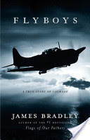
Not long ago, I read the book “Flyboys” by
James Bradley. It talks about US forces bombing a
tiny (three miles by five miles) island called
Chichi Jima and eight pilots who crashed there, were
captured, tortured and killed by the Japanese.
This book mentions the USS Randolph as part of the
support forces in the bombing raids on Chichi Jima.
This is where dad’s ship was when it was hit.
I lift a beer in memory to a couple of Mr B-Bar buddies from long ago.