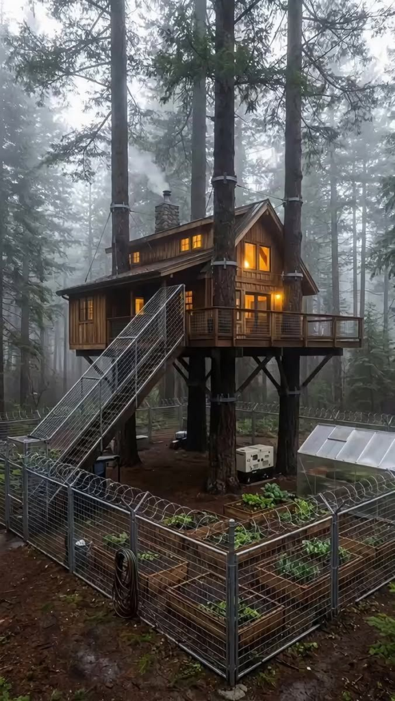
Found Ghostsniper’s Place

Scattered throughout the dry country, these windmills stand alone, pumping water into stock tanks … or standing broken and discarded as the homesteaders and ranchers moved on.
The Aeromotor Company began experimenting with wind engines in 1883 and sold its first 24 all-metal windmills in 1888, selling over 20,000 by 1892. Through many changes in operations, names, and ownership, the company still exists, owned by a consortium of ranchers in Texas – having reverted back to its original name.
In 1890, the factory consisted of one large building. Sales were so great that by 1892, the factory had expanded to three buildings, the newest one-story building covering an acre.
By 1904, an 8ft mill cost $25 and a 20ft mill, $300 – but the mills required weekly maintenance. By 1915, an automatic oiler was developed that reduced maintenance to a yearly task rather than weekly.
The owner of the company, LaVerne Noyes, established university scholarships for veterans of WWI, primarily at Univ of Chicago and Iowa State. He died in 1919, leaving the company to a taxable trust. The scholarships are still available.
So are the windmills.
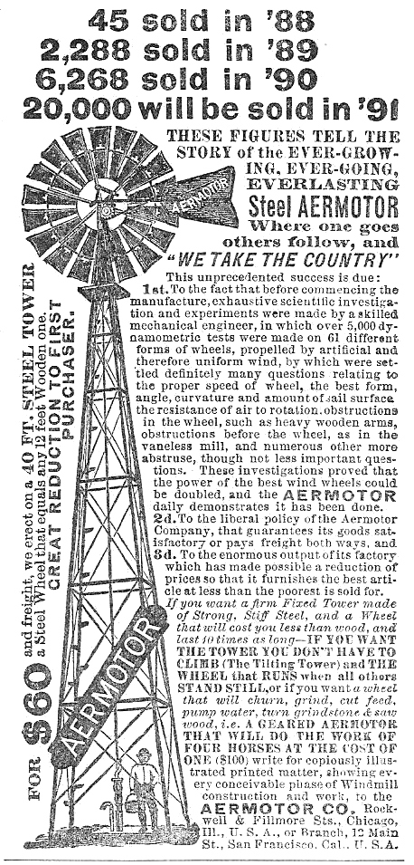
Today (2024 catalog), a basic 8ft windmill on a 21 ft tower weighs 795 lbs and costs just about $8600 and is of the same basic design as the 1888 windmill.
How it’s made:
www.youtube.com/watch?v=A0sc6INKmmc
first published by Jean on Aug 12, 2025

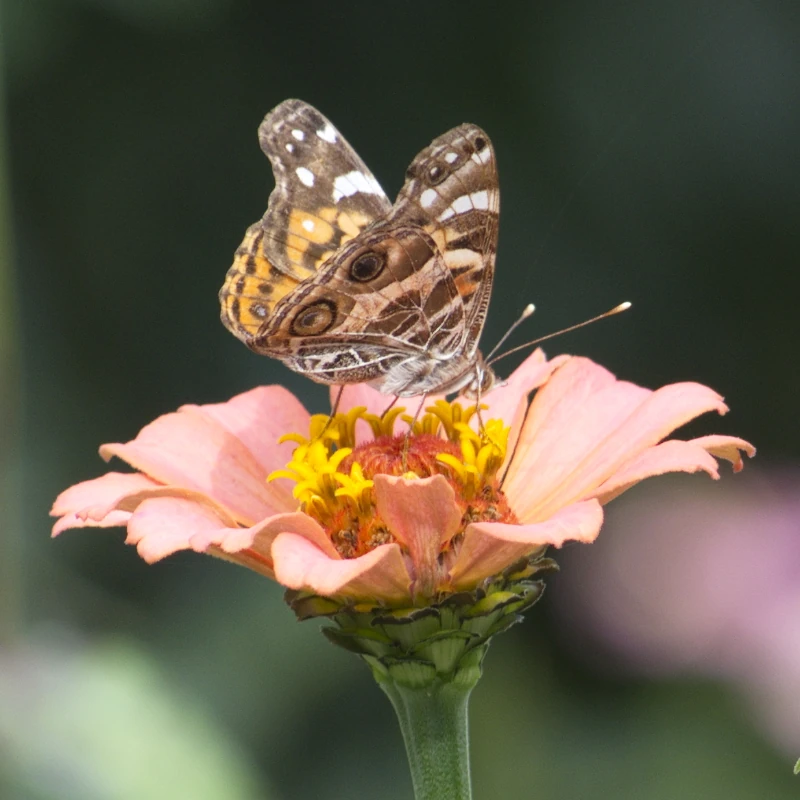
[ Jean: Is this a self-portrait? ]
A sample of some obscure – and maybe not obscure – tunes from my strange and off-the-wall collection.
Today’s selection: Blue Oyster Cult – “Last Days Of May” 1972
Off Blue Oyster Cult’s first album. I saw the band at a back road, non-tourist bar in Reno in 1985 (I think). Maybe 300 people, probably 250 – maybe not even that many. They played under the name of “Soft White Underbelly“. They said they missed playing for small crowds. Played for a few hours; one break. One of the best concerts I’ve been to.
Wouldn’t be interested in coming along
Instead of staying here
It’s said the west is nice this time of year
It’s what they say
She was 18 when I asked her. She said Yes. We didn’t come back.
Maybe a tale I’ll tell someday.
It’s next Saturday … this is the Monday of a 3-day weekend.
Stolen from the wundernet:
As evening sets in, I do not honor “National BBQ Day”. I will pay my respects on the proper day. To a couple of high school buddies that breathed their last in the jungle. Traditions are more important than 3-day weekends.

In 1968, the U.S. government passed the Uniform Monday Holiday Act, which put major holidays on specific Mondays to give federal employees three-day weekends. Memorial Day was one of these holidays, along with Washington’s Birthday, Labor Day and Columbus Day. The act also codified the name “Memorial Day” into law.
It all went into effect in 1971.

Must have been about this time of year perhaps 10 years ago. Along Colonial Parkway between Jamestown and Yorktown, Virginia.
Sometime along about 20 or so years ago … Nov 11, 2005 to be exact.
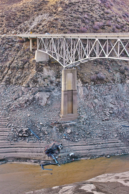
No one put outriggers out. Gravity still works and there’s a point where the machinery loses balance.
The bridge is about 850 ft long and stands about 95 ft above “normal” water level. That level is evident at the marks on the pier and shoreline. At this time, the reservoir had been drained for maintenance during a period of normal low water; the bridge was 160 ft above water level here.
The year before this picture, 90 elk and 25 mulies broke through thin ice while crossing just above this point and drowned. In efforts to prevent this, the local region was evaluated, including this bridge. The results of this evaluation led to upgrading the bridge (and more directly, the construction of a wildlife bridge attempting to redirect the elk migrations)
During repair operations, the crane over-balanced and fell off the bridge. The operator managed to jump off the machine but a nearby construction worker was pinned between the rig and guardrail as the crane went over.